Friday, July 12:
9:35 a.m. - Jefferson Parish transit will suspend service at 7 pm Friday. All service is cancelled Saturday.
9:30 a.m. -
9:15 a.m.
9:05 a.m. - Update from the Flood Protection Authority
St. Bernard Parish
- Beginning at 10:00 AM the sector gates at Bayou Bienvenue and Caernarvon will close.
Orleans Parish
- Beginning at 10:00 AM crews will close floodgates on Highway 11 in New Orleans East. We will also place barricades at both ends of the roadway.
8:20 a.m. - Evacuation Shelter opened at the Belle Chasse Auditorium. Open to Plaquemines Parish residents and pets.
7:45 a.m. - Voluntary evacuation for parts of Terrebonne Parish
A voluntary evacuation is in place for residents living below the floodgates.
A shelter has been set up at the Houma Municipal Auditorium at 880 Verret Street.
7:30 a.m. - New Orleans RTA releases service changes for Friday:
§ All Bus service is operating as normal.
§ All streetcar service lines have been replaced with bus service, in anticipation of the impending weather event.
§ All ferry vessels have been secured for safety and the Algiers Point/Canal Street ferry service is being replaced with bus service.
§ The Chalmette Ferry is closed.
§ Paratransit service is being provided as medically necessary.
§ All essential employees are on standby.
§ Depending on the weather’s progression, service cuts will begin prior to landfall, as needed.
7: 15 a.m. - A different view of TS Barry
7:05 A.M. -
6:50 a.m. -
The 7 a.m. Friday advisory has been released from the National Hurricane Center. Very little new information in this advisory:
- Very little change from the 4 a.m. Thursday update
- Barry's winds have stayed at 50 mph after increasing late Thursday night
- Barry's west-northwest movement has increased to 5 mph
- The center, which still is organizing and is showing signs of thunderstorms beginning to form around it, has moved more west than north.
The strongest winds are still displaced from the center of the storm, which would need to happen when the storm intensifies.
The slow speed of the storm is no surprise - that was expected.
The next advisory coming down from the National Hurricane Center at 10 AM CDT.
6:45 a.m. -
6:40 a.m. -
6:20 a.m. -
6:10 a.m. - Are you prepared for Tropical Storm Barry? Take a look at our emergency supply checklist to make sure you aren't missing anything.
5:55 a.m. - The Delta Sigma Theta organization's 54th annual national convention is cut short, the New Orleans Ernest N. Morial Convention Center announces. What would have been a whole-weekend convention concludes after one more afternoon event Friday, officials say.
5:45 a.m. - Legendary storm-caster Jim Cantore is spotted reporting from the Lakefront at Lake Pontchartrain with the Weather Channel.
5:42 a.m. - "Jefferson Parish is truly prepared for this storm," Parish President Mike Yenni says on the WWL-TV Eyewitness Morning News on Friday. Watch Yenni explain the parish's preparations ahead of Tropical Storm Barry's projected landfall Saturday.
5:38 a.m. - Flights continue to operate Friday morning at the Louis Armstrong New Orleans International Airport (MSY) in Kenner. Officials warn lines may be longer than normal due to Tropical Storm Barry. Some airlines are waiving change fees ahead of the storm. Check your airline's website to see.
5:10 a.m. - Residents in Terrebonne Parish wake up early to get to the Bayou Black Fire Station in Houma, one of more than a dozen locations to fill sandbags ahead of the heavy rains from Tropical Storm Barry.
See the full list of sandbag locations around Southeast Louisiana here.
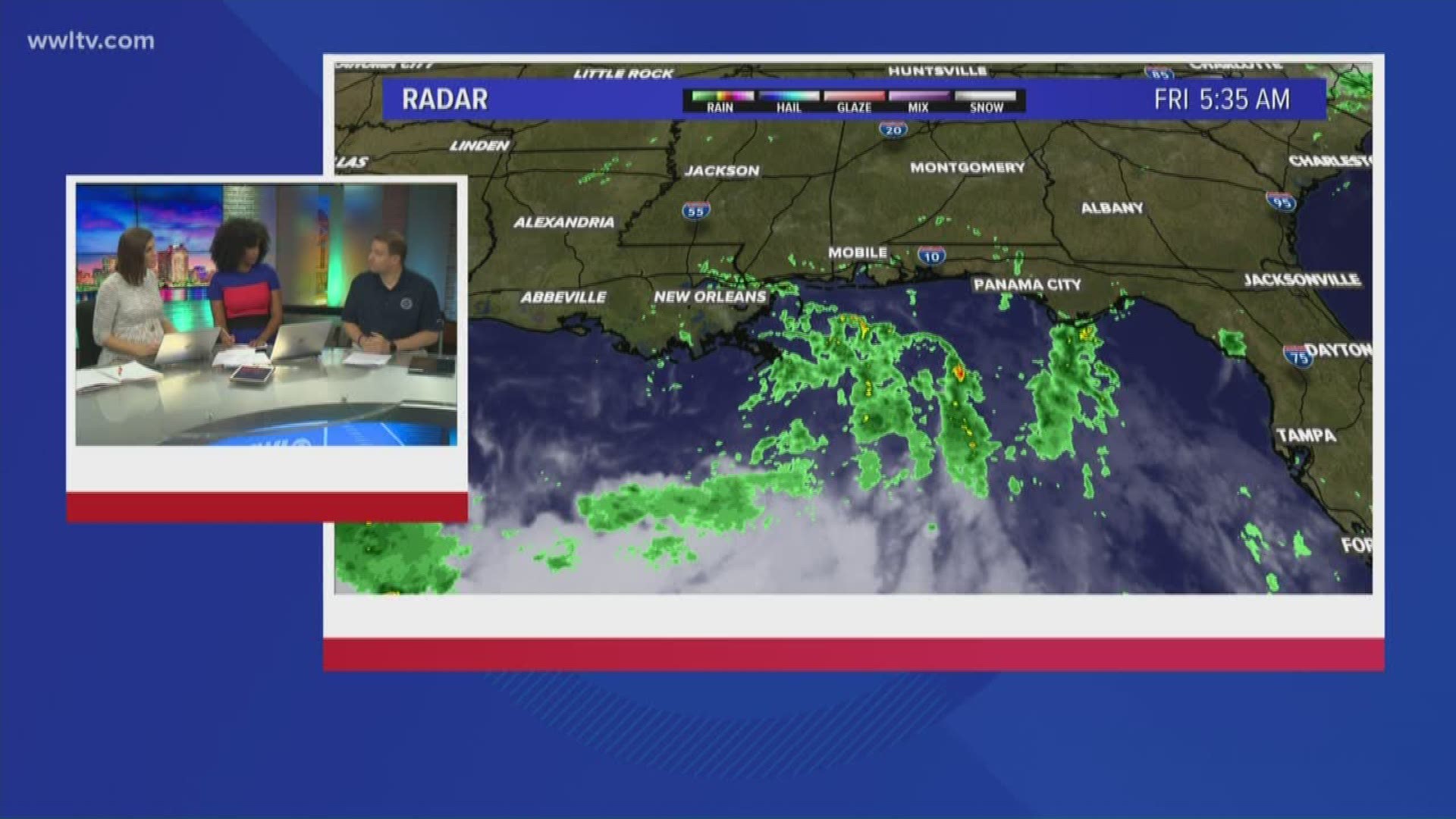
4:40 a.m. - Tropical Storm Barry is not moving much; impacts expected especially on Saturday. WWL-TV Meteorologist Dave Nussbaum and the Eyewitness weather team will be live until 9 a.m. with the latest updates on storm coordinates, parish evacuations, sandbag locations and weather tips for you.
4:06 a.m. - Here is a list of important emergency numbers from parishes across the state.
3:54 a.m. - There is little change to Barry with the 4 a.m. advisory, according to the National Hurricane Center. The tropical storm is 95 miles from the mouth of the Mississippi River and is still spinning with max sustained winds of 50 mph. The storm is creeping at 5 mph an hour. Click here for the most up-to-date forecast.
3:09 a.m. - The Army Corps of Engineers is working overnight to add "Stoplogs" to the Harvey Canal lock in anticipation of Tropical Storm Barry's storm surge.
"At this low spot, we're giving it an extra added level," explained Corps spokesperson Victory Landry. "We're doing everything we can do to mitigate risk." Read the rest of the story.
2:30 a.m. - As Tropical Storm Barry threatened New Orleans with torrential rains that will test the city's flood defenses this weekend, the height of the city's river levees was the U.S. Army Corps of Engineers' greatest concern, spokesman Ricky Boyett said Thursday.
The danger to New Orleans — bound by the Mississippi River on its south side, Lake Pontchartrain on its north side and tributaries leading into the nearby Gulf of Mexico on the east — is threefold: storm surges from the sea, rain from the sky and water from the rising river if the levees fail.
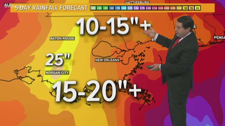
While the Corps wasn't expecting the swollen river to spill over into the city, the threat from Barry was real with a storm that was forecast to dump 10 to 15 inches of rain on New Orleans through Sunday, with isolated areas getting 20 inches. Keep reading.
1:40 a.m. - Barry's outer bands begin lashing the southeastern Louisiana as coastal communities brace for a drenching and the storm's rains put New Orleans' improved post-Katrina flood defenses to the test. Continue reading.
1:00 a.m. - Tropical Storm Barry is still "crawling" westward with little change in strength, according to the National Hurricane Center. It is still spinning roughly 80 miles south of the mouth of the Mississippi River and holding steady with 50 mph with stronger wind gusts.
12:34 a.m. - Parishes are making final preparations for Tropical Storm Barry as the storm inches closer to the Louisiana coast.
12:13 a.m. - Nichols State University will closes its offices and 10 p.m. classes and activities will be canceled for Friday, July 12.
A scheduled ACT exam and Executive MBA classes on Saturday, July 13 have also been canceled or postponed.
Scheduled activities are planned to resume on Monday.
Thursday, July 11:
11:27 p.m. - NOPD recommends following several important social media accounts to follow as Tropical Storm Barry approaches, including: @CityOfNOLA @mayorcantrell @LouisianaGov @nolaready @NewOrleansEMS @NOLAFireDept @nolahealthdept @SWBNewOrleans @JeffParishSO @NWSNewOrleans @EntergyNOLA @NOLACityCouncil @PlaqEoc @JeffParishAlert @SlidellPD @LafourcheSO @stjohnsheriff @stcharlesgov @StJamesSO @STPSO @sheriffsbso @TeamNewOrleans
11:07 p.m. - Power outages are possible with Tropical Storm Barry. Anyone with electrically dependent medical equipment. They should have their medications and medical equipment ready to go.
10:33 p.m. - The NOPD is asking all Algiers residents to avoid driving and parking their vehicles on the levee - especially in the 100 block through the 7000 block of Patterson Avenue - as it can cause stress to the levee structures.
If anyone has their vehicles parked there already, they are asked to move them.
10 p.m. - Tropical Storm Barry has strengthened slightly - winds are now 50 mph with higher gusts.
The National Hurricane Center predicts additional strengthening in the next day or so.
9:43 p.m. - Postal operations have been suspended at several Post Offices due to mandatory evacuations ahead of Tropical Storm Barry.
- Buras, LA, Post Office - 37823 Hwy 23 Buras, LA, 70041
- Empire, LA, Post Office - 37823 Hwy 23 Buras, LA, 70050
- Venice, LA, Post Office - 37823 Hwy 23 Buras, LA, 70091
- Bootheville, LA, Post Office - 37823 Hwy 23 Buras, LA, 70091
- Pointe A La Hache Post Office, LA Post Office - 18039 Hwy 15 Pointe A La Hache, LA, 70082
- Port Sulphur, LA, Post Office - 26852 LA-23 Ste A, Port Sulphur, LA, 70083
- Braithwaite, LA, Post Office - 2729 English Turn Rd, Braithwaite, LA 70040
Customers with P.O. boxes at any of the locations above can pick up their mail at the Harvey Post Office located at 2801 Manhattan Blvd. in Harvey.
9:29 p.m. - President Donald Trump has issued a state of emergency for several parishes in Louisiana ahead of Tropical Storm Barry making landfall. Click here for a full list of parishes and the full statement.
8:30 p.m. - PM Update on TS Barry - It strengthens and slows down
8 p.m. - What is a HESCO basket and why are we talking so much about them? They're key in flood prevention. Click for more
7:50 p.m. - Three men were shot in an attack that happened Thursday night in the Little Woods area of New Orleans East, New Orleans Police Department officials said.
7:48 p.m. - Lafourche Parish officials have issued a mandatory evacuation below the Leon Theriot Lock in Golden Meadow for 6:00 a.m. Friday, July 12, for the area below the lock. With that, GLPC anticipates moving to GLPC Storm Phase IV: Mandatory Evacuation for Port Fourchon at that time.
The town of Grand Isle is currently under mandatory evacuation as of 12:00 p.m. today, and LA DOTD is suspending tolls on the elevated LA 1 Expressway in Leeville to aid in evacuation travels. Click here for other evacuation information
-7:30 p.m. - Tips to keep your cell phone battery charged in case of power outage
-7:13 p.m. - Orleans Parish preparations for storm: https://twitter.com/TeamNewOrleans/status/1149466731913416704
-7:03 p.m. - Trash pickup in Jefferson Parish has been altered, thanks to approaching Tropical Storm Barry.
-6:53 p.m. - Closure update from the Corps
- 6:30 p.m. - Slight risk of severe weather Friday locally for most of our viewing area
- 5:50 p.m. - The Hancock County Emergency Management Agency is planning to activate the Emergency Operations Center Friday at 6 a.m. The EOC will be operational 24/7 throughout the duration of the storm.
- 5:32 p.m. - WWL-TV reporter Paul Murphy spent Thursday checking on the river levels ahead of Tropical Storm Barry, which is expected to bring three to four feet of river surge up the Mississippi River.
Ed. Note: Story continues below the video
- 5:14 p.m. - St. Bernard Parish is planning to close the Highway 39 Floodgate (St. Bernard Highway) at the St. Bernard / Plaquemines Parish at 10 p.m. Thursday.
The gate will remain closed throughout the remainder of the storm event. The emergency access ramp over the adjacent levee will remain open as an evacuation route.
- 5:11 p.m. - Amtrak, Megabus and Greyhound have all suspended service in New Orleans ahead of Tropical Storm Barry.
RTA is continuing bus service in the city as long as it is safe to do so.
- 5:07 p.m. - The Louisiana Department of Corrections has canceled visitation of inmates through Sunday at all locations. Visitation will resume Monday, after Tropical Storm Barry has passed.
- 4:56 p.m. - The Sewerage & Water Board released an interactive map of the city's pump system ahead of Tropical Storm Barry's expected landfall Friday or Saturday.
The map shows the pump locations and the direction the water flowing out of them travels.
According to officials, if residents see full canals, the pumps are working and the water - however slowly - is draining from New Orleans.
- 4:52 p.m. - New Orleans City Hall will remain closed Friday. City Hall will reopen for normal operation on Monday, July 15.
- 4:44 p.m. - Gov. Edwards and Mayor Cantrell held a press conference at the New Orleans City Hall to give an update on storm preparations ahead of the storm.
The governor asked motorists to avoid driving because floodwaters - which are expected to be the biggest danger of the storm - could pick up cars and carry them away.
- 4:33 p.m. - According to the National Weather Service, there is still a large chance that Tropical Storm Barry will become a hurricane before landfall Friday or Saturday.
Because of dry air between the storm and the coast, prediction models are unsure if the storm - which is predicted to be on the edge of hurricane status - will increase in power and become a hurricane.
- 4:19 p.m. - A Hurricane warning has been issued for parts of the Louisiana coast ahead of Tropical Storm Barry's arrival.
The U.S. National Hurricane Center issued the warning Thursday afternoon for the Louisiana coast from Intracoastal City to Grand Isle.
A tropical storm warning is in effect for other areas including the New Orleans metro area.
- 4:07 p.m. - Trash pickup in the city of Thibodaux has been suspended until Monday, city officials said. They are following in the footsteps of other areas in the path of Tropical Storm Barry including Jefferson Parish.
- 4:03 p.m. - New details show that Tropical Storm Barry might not strengthen to a hurricane according to the National Weather Service.
The threat of high rainfall is still present, and remains the greatest danger along the eastern side of the storm.
Barry moved slightly west over the three hours since the last update from the NWS, meaning Mississippi could have less rain instead of more.
- 4:00 p.m. - St. Tammany Parish officials said they will activate their emergency operations center Friday in preparation for Tropical Storm Barry, which is expected to make landfall Friday night or Saturday morning.
- 3:41 p.m. - RTA is continuing bus service in New Orleans, replacing streetcar and ferry service.
- 3:35 p.m. - The City of New Orleans announces all parking restrictions have been suspended until after Tropical Storm Barry moves through the area. Residents are able to park their cars on the neutral grounds and sidewalks.
- 3:31 p.m. - Having issues with the Sewerage and Water Board service? You'll have to wait. They're shutting down their customer service center to allow representatives to get ready for Tropical Storm Barry.
Their emergency hotline, 52-WATER, will remain open 24/7 to report any water emergencies.
- 3:08 p.m. - The Louisiana National Guard has been authorized to activate up to 3,000 additional soldiers and airmen ahead of Tropical Storm Barry.
“The Louisiana National Guard is taking a proactive and aggressive approach in dealing with the preparations ahead of Tropical Storm Barry,” said Maj. Gen. Glenn H. Curtis, adjutant general of the LANG. “This will allow our guardsmen to be more successful in their priority missions immediately following the storm – search and rescue operations and commodities distribution.”
The National Guard is setting up additional infrastructure in New Orleans, where 10 to 15 inches of rain are expected.
- 2:50 p.m. - State officials have closed government offices in 32 parishes throughout Louisiana ahead of Tropical Storm Barry because of the "uncertain path" associated with the storm.
State offices in Acadia, Ascension, Assumption, Calcasieu, Cameron, East Baton Rouge, East Feliciana, Iberia, Iberville, Jefferson, Jeff Davis, Lafayette, Lafourche, Livingston, Orleans, Plaquemines, Pointe Coupee, St. Bernard, St. Charles, St. Helena, St. James, St. John, St. Landry, St. Martin, St. Mary, St. Tammany, Tangipahoa, Terrebonne, Vermilion, Washington, West Baton Rouge and West Feliciana parishes are all closed until Monday.
- 2:36 p.m. - St. Charles Parish has issued a voluntary evacuation for residents in low-lying areas that generally have issues with flooding during heavy rain and storm surge events.
According to the latest forecasts, the parish is expecting gusts of 39 mph to 74 mph, potential storm surge of 3-6 feet and possible rainfall up to 17 inches.
- 2:11 p.m. - Jefferson Parish officials have canceled all trash pickups for Friday and Saturday ahead of Tropical Storm Barry.
Residents with those pickup days are being told to keep their garbage until their next scheduled pickup date or drop their waste off at one of the Parish’s four drop-off sites once they reopen for business on Tuesday, July 16th.
Regular trash service is expected to resume Monday.
- 2:03 p.m. - Twitter appears to have gone down across the U.S., including in Louisiana, where government officials use the social media platform to share up to date information with residents in danger from the storm.
Twitter officials did not immediately clarify the problem or say what had caused the outage.
- 1:47 p.m. - As he prepares for continual coverage of Tropical Storm Barry, meteorologist Chris Franklin talks with WWL-TV reporter Jade Cunningham about why the storm is so unpredictable even 48 hours before it makes landfall.
Ed. Note: Story continues below the video
- 1:38 p.m. - All non-essential offices of the St. Bernard Parish Government will be closed on Friday, July 12. Administrative offices will reopen on Monday, July 15, 2019.
- 1:32 p.m. - Long-term parking at the New Orleans airport is open.
- 1:20 a.m. - WWL-TV reporters are out across the metro New Orleans area as residents and officials prepare for Tropical Storm Barry, which is expected to become a hurricane capable of dumping 20 inches of rain on the New Orleans area.
Danny Monteverde talked with reporter Jade Cunningham before he set out for Grand Isle about his coverage of the storm.
Ed. Note: story continues below the video
- 1:04 p.m. - A Tropical Storm Warning has been called for the southeastern Louisiana coastline.
- 12:52 p.m. - Gov. John Edwards said the state is preparing for a "major weather event for the state of Louisiana."
"We're anticipating a category 1 hurricane at landfall," he said at a press conference Thursday afternoon, adding that his administration expects an "extreme rain event for large portions of the state."
The governor emphasized that the storm surge projection had been lowered from 20 feet to 19, below the top of the levee. But he stressed the danger of flooding from rain as an equal hazard.
"Whether it comes from the rain or from the river, water is water," Edwards said."
Tropical Storm Barry is expected to become a hurricane sometime before it makes landfall near Morgan City late Friday or early Saturday.
- 12:48 p.m. - Crews continue preparing for Tropical Storm Barry, setting up sandbag barriers and monitoring water levels along the Mississippi River.
- 12:39 a.m. - According to the city of New Orleans, Immigration and Customs Enforcement officers (ICE) will not be conducting immigration enforcement over the weekend in the areas affected by Tropical Storm Barry.
-12:35 p.m. - St. Tammany Parish officials warned that the impacts from the storm could be "significant" for the parish.
“I am urging residents to stay tuned to the National Weather Service, local media outlets, and our Social Media Channels as well as Access St. Tammany for the latest on this storm,” said Parish President Pat Brister. “Residents should refresh your preparations for this storm. Have your emergency plans in place, clear debris from your drains, check on your elderly neighbors, have medications in stock, and make sure your family communication plan is set.”
- 12:30 p.m. - The City of New Orleans announces that the U.S. Department of Homeland Security Immigration and Customs Enforcement (ICE) enforcement will be suspended over the weekend. "Make all storm preparations to stay safe regardless of your immigration status," a city official said.
- 12:13 p.m. - Streetcars throughout New Orleans have been replaced with busses to allow residents to park on the neutral ground throughout the city.
RTA officials said public transportation will continue as long as it is safe to keep driving on the roads, but did not say when they expected service to stop.
- 12:06 p.m. - The New Orleans airport will remain open unless weather conditions become dangerous or the airport itself is damaged. If airlines cancel flights, the TSA will stop flight screening and the airport will close.
Officials are reminding residents that the airport is not an emergency shelter, and residents should not seek shelter at the airport during severe weather.
- 11:55 a.m. - City officials are emphasizing that the job of the pumps during heavy rain situations is not to keep New Orleans streets dry, but to pump water out of the streets so that the water will go down and the streets will eventually dry.
- 11:48 a.m. - St. John The Baptist Parish has declared a state of emergency ahead of Tropical Storm Barry, which is expected to hit Louisiana's coast sometime Friday night.
- 11:45 a.m. - Starting at 7 a.m. Friday, the New Orleans Police Department will be canceling all vacation and time off, and will be at maximum staff throughout the weekend.
Police Chief Shaun Ferguson said officers would continue their normal patrols, and would be monitoring for looters or any other criminals emboldened by the storm.
- 11:41 a.m. - The city of New Orleans is planning a new way to inform residents of storm updates. You can text Barry to 888777 to receive every alert about Tropical Storm Barry that the city of New Orleans sends.
- 11:40 a.m. - The National Weather Service is asking residents of New Orleans to be aware of flooding and heavy rain, because those are the most dangerous parts of the storm.
New Orleans is projected to be on the eastern side of the storm, according to the National Weather Service, meaning the city will get the heaviest rain.
- 11:37 a.m. - Mayor Latoya Cantrell said the city of New Orleans should prepare for "consistent rainfall" for up to two days as the slow-moving storm makes its way past the city.
"We do expect that this storm will be slow moving," she said. "There is a possibility that we are going to get heavy rainfall for up to 48 hours."
City officials are not issuing a voluntary or mandatory evacuation because the projected hurricane is expected to be a category 1. New Orleans issues an evacuation order for hurricanes that are category 3 or stronger.
- 11:29 a.m. - As we prepare for the Orleans Parish press conference on Tropical Storm Barry, here's the latest on the storm's path, and what to expect from it when it makes landfall.
- 11:17 a.m. - The City of Gretna suspends all regularly scheduled garbage pickup for Friday and Saturday (July 12, 13). Everyone is set to receive garbage service on Monday, July 15.
- 11:09 a.m. - All traffic on the Mississippi River is expected to stop at 6 a.m. Friday.
- 11:00 a.m. - WWL-TV reporter Meg Farris will be heading out to cover Tropical Storm Barry soon. We caught up with her while she was getting ready, and talked with her about where she's headed to.
Ed. Note: Story continues below video
- 10:54 a.m. - Here are all the closures across southern Louisiana ahead of Tropical Storm Barry.
- 10:42 a.m. - City Park is set to close at 2 p.m. Thursday. The park will remain closed through Sunday, according to city officials.
- 10:40 a.m. - According to the European storm tracking model, which has been the most accurate of the models so far, Tropical Storm Barry will hit to the west of New Orleans, dumping heavy rain on the city.
Because the storm's "wet side" is along the eastern part of the system, the best-case scenario for the New Orleans metro area is if the storm passes directly overhead, as some of the other models predict, because the heaviest rains will fall towards Mississippi.
- 10:34 a.m. - The river surge level projections have been lowered to 19 feet from 20 feet. The levee system is designed to protect against 20 feet of water, leading to fears of overflow when the initial 20-foot projections were released.
- 10:32 a.m. - Remember, it is illegal to tie up your pets and leave them behind during a hurricane. Your pet needs to be part of your evacuation plan. For more info on how to plan to evacuate your pet, click here.
- 10:26 a.m. - Tropical Storm Barry is expected to make landfall late Friday. Meteorologists do not know when the storm will turn into a hurricane but expect it will do so sometime before it hits Louisiana.
- 10:20 a.m. - East Jefferson Hospital will operate normally Thursday and Friday. Jefferson Parish officials have not received word about the other hospitals in the parish, but expect hospital administrators will make their decisions soon.
- 10:18 a.m. - Thinking about evacuating? Want to be ready if you get either a voluntary or mandatory evacuation warning? Check out our emergency kit building guide here.
- 10:15 a.m. - 13,000 customers lost power in Jefferson Parish Wednesday, Entergy officials said. In Jefferson Parish, crews will not be able to do line repairs while floodwater persists, so if power is knocked out during the storm over the weekend, it could be some time before it is restored.
-10:07 a.m. - Jefferson Parish crews have cleaned 2,000 catch basins ahead of Tropical Storm Barry.
Some areas of the parish experienced up to seven inches of rain during Wednesday's storm, and parish president Michael Yenni said the early test of the parish's pumps indicated the pumps would work throughout the storm to remove water: 1 inch of rain during the first hour and half an inch every hour after that.
- 10:00 a.m. - Winds of 20 to 40 mph are expected in the metro New Orleans area. Tropical Storm Barry is a "slow mover" according to WWL-TV meteorologists, meaning that it could linger over the weekend.
Forecasts have not determined the exact path of the storm. If it stays to the west of the New Orleans area, it means more rain for NOLA. If the storm passes directly over the city, as some models indicate, heavier rain would call near the Mississippi border.
- 9:52 a.m. - Tropical Storm Barry has formed in the Gulf of Mexico. It is expected to make landfall Friday or Saturday, possibly developing into a hurricane.
- 9:47 a.m. - No evacuations have been called for St. Bernard Parish as of Thursday morning.
The National Weather Service is expected to give the latest update on the formation of the tropical storm around 10 a.m.
- 9:41 a.m. - Tropical storm-level winds could be coming as soon as Thursday evening, according to St. Bernard Parish officials.
But officials said there is five feet between the water and the top of the levee around the parish, and they are confident the barriers will withstand the storm.
- 9:36 a.m. - Lafourche Parish is "100 percent better" than during previous hurricanes, Parish President Jimmy Cantrelle said.
"Hopefully this is going to be enough to handle the deluge of water we're going to be getting."
- 9:30 a.m. - The storm system that could become Hurricane Barry has not developed at this time, according to meteorological forecasts. It is expected to develop and make landfall sometime Friday or Saturday.
- 9:17 a.m. - More JP school closures: The ACT that was scheduled for Saturday at Bonnabel High and Grace King High has been postponed.
Officials did not say when it would be rescheduled to.
-9:03 a.m - Carnival Cruise Line says it rerouted a cruise ship headed to New Orleans because of the potential tropical storm brewing in the Gulf of Mexico.
- 8:46 a.m. - Jefferson Parish schools and offices in the schools are closed Friday, July 12: Complete list
-8:35 a.m. - A mandatory evacuation order has been issued for Grand Isle. The order goes into effect at Noon today.
-7:55 a.m.
St. John the Baptist Parish announces sandbag locations. Full parish-by-parish list here.
---
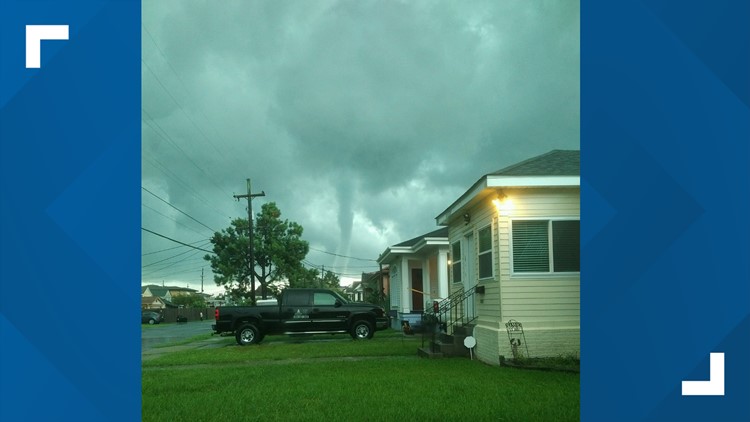
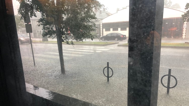
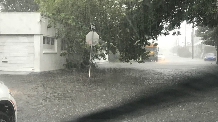
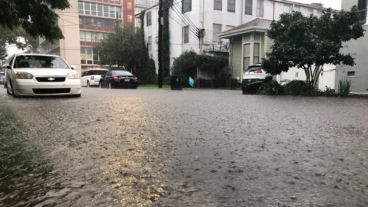
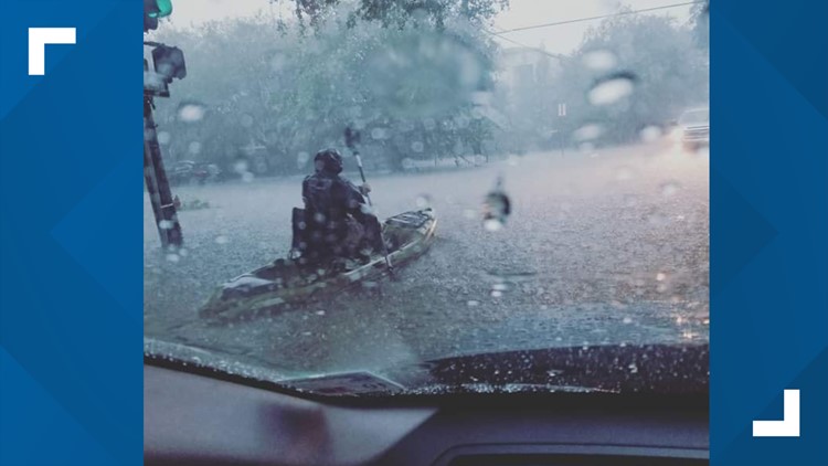
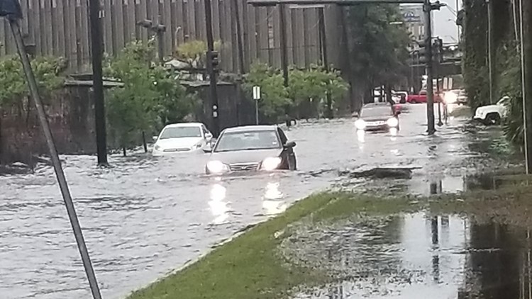
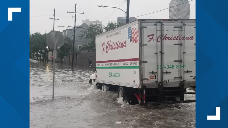
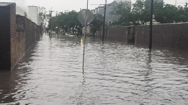
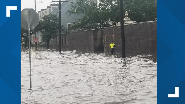
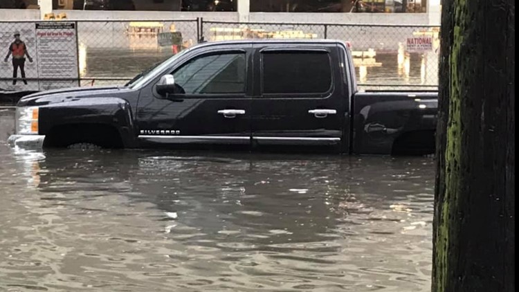
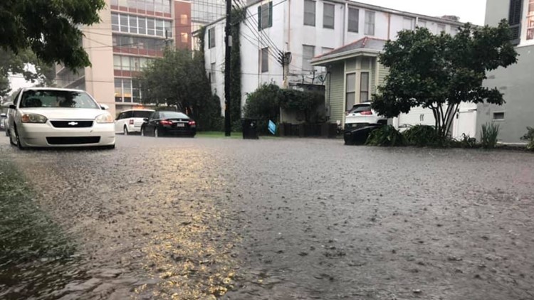
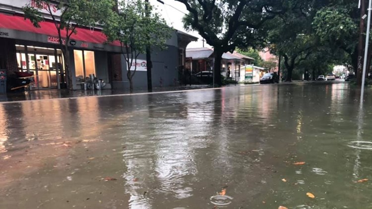
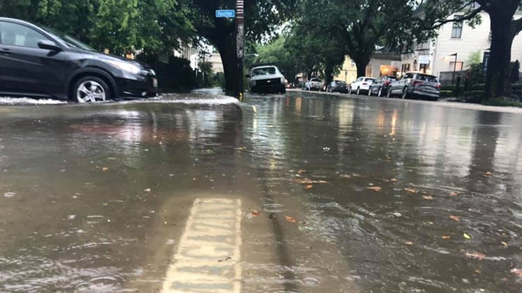
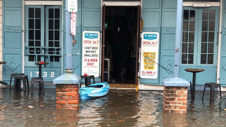
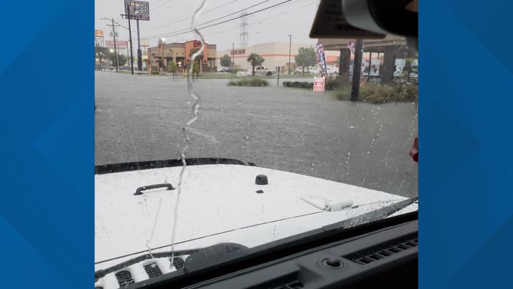
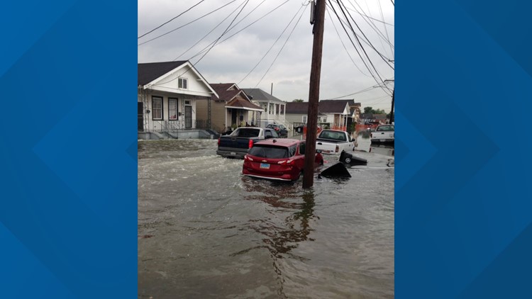
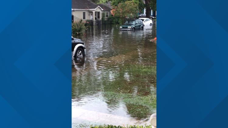
Most of the damage done across New Orleans was from flood water, but a possible tornado had scalpel-like precision when it hit a home on Bancroft Drive. The rest of the homes on the streets were untouched.
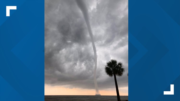
Photos: Waterspouts, flooding in New Orleans
- 9:02 p.m.
Here are the latest tracks and models.
- 8:32 p.m.
Catholic schools close campuses on Friday, July 12 in anticipation of bad weather. Full list of closures.
(Don't see yours on the list? Email: pressrelease@wwltv.com)
- 8:26 p.m.
- 8:20 p.m.
The Army Corps is "confident" in levees protecting us from the Mississippi River despite the chance of having the highest river levels in 70 years. Click for story.
- 6:38 p.m.
Crews are closing all 200 flood gates, a "highly unusual" move, according to levee authorities. The river is at 16 feet now. Normally, it's at 8 feet. Click here to read the story.
The National Weather Service now predicts the river will spike to 20 feet Saturday afternoon due to storm surge associated with the storm.
Flood stage is 17 feet, so if the forecast holds the Mississippi would actually rise to 3 feet above flood stage.
- 5:25 p.m.
Parts of Plaquemines Parish will be under a mandatory evacuation order Thursday morning as what could become Hurricane Barry approaches the Louisiana coast. The evacuation would impact about 8,000 to 10,000 people. Click to read the story.
- 4:30 p.m.
Several parishes are giving out free bags of sand to help residents prepare for the upcoming storm. Click here for a list of locations.
- 2:00 p.m.
At a press conference Wednesday, New Orleans Mayor Latoya Cantrell declared a state of emergency for the city, but assured residents that New Orleans is ready for future flooding and street closures. Click here to read the story.
- 1:15 p.m.
Louisiana declared a state of emergency as residents on the coast brace for the landfall of a potential hurricane this weekend.
Gov. John Bel Edwards said Potential Tropical Storm Barry will likely bring storm surge, hurricane-force winds and up to 15 inches of rain across Louisiana.
"This is going to be a Louisiana event with coastal flooding and widespread, heavy rainfall potentially impacting every part of the state,” said Gov. Edwards. “No one should take this storm lightly." Read the full story here.
TRACKING THE STORM
► Download the FREE WWL-TV News app now in the iTunes store or on Google Play.
►Sign up for the 4 Things to Know email newsletter to get weather headlines delivered to your inbox. Click here to sign up!


