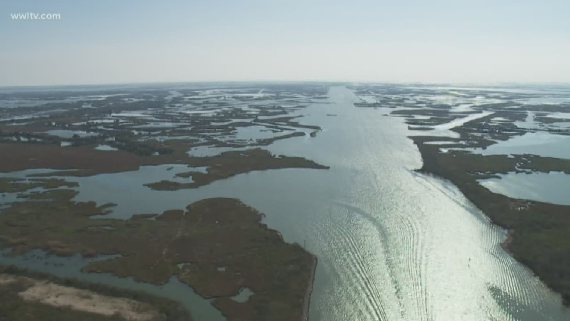
NEW ORLEANS — Most people living in Southeast Louisiana know about the potential for storm surges along the coast but forget about the other large body of water.
"One of the things we don't really think about is the height of the river," Eyewitness News Weather Expert Dave Nussbaum said.
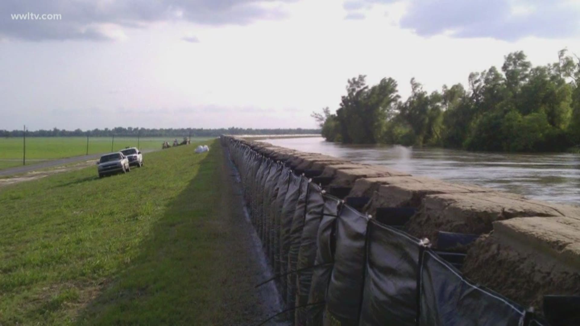
With an already-elevated height of the Mississippi River during hurricane season, Nussbaum says a storm entering into the Gulf could lead to potential disaster.
"Just a regular storm coming straight onto the coastline isn't going to bring a surge of water our way," he said.
It would have to be a fairly intense storm and it would have to be in the right position.
"If it came like a 45-degree angle or parallel to the direction of the river, that water, because it'd be on the right side, would be pushed right up the river."
Story continues below video
And this is where the Morganza Spillway to the north of New Orleans plays a role in flood reduction.
"Another reason for us to open that spillway is to make sure the river level is low enough to compensate for any kind of surge," Nussbaum added.
The opening could ease the flow of water and direct more into the Atchafalaya Basin. However, down on this side, the Mississippi River empties into the Gulf. So in the worst case scenario, water could be pushed over the levee.
Again, nothing is threatening the Gulf at the moment, but the National Hurricane Center in Miami recognizes the elevated river level as a concern.
They say together, with the Lower Mississippi River Forecast Center, and the National Weather Service Slidell office the agencies "have been running operational readiness drills for several weeks now and coordinating with the Army Corps New Orleans District on the most effective ways to communicate potential flood risks."
For now, our experts say, even though a substantial hurricane would not develop until later in the season, be aware there's still a chance.


