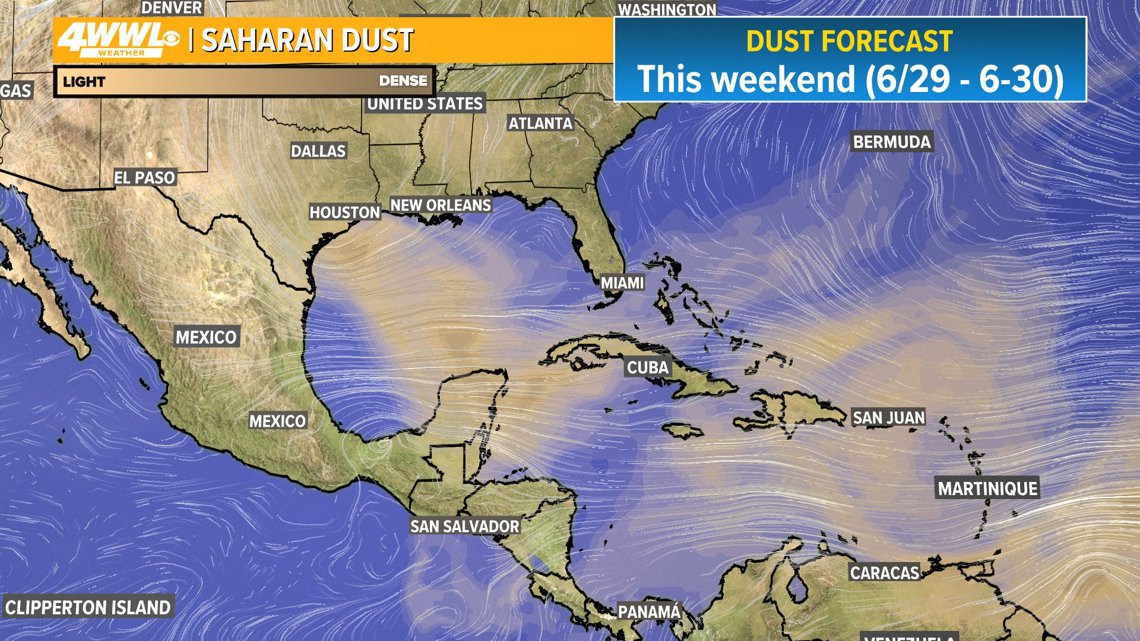
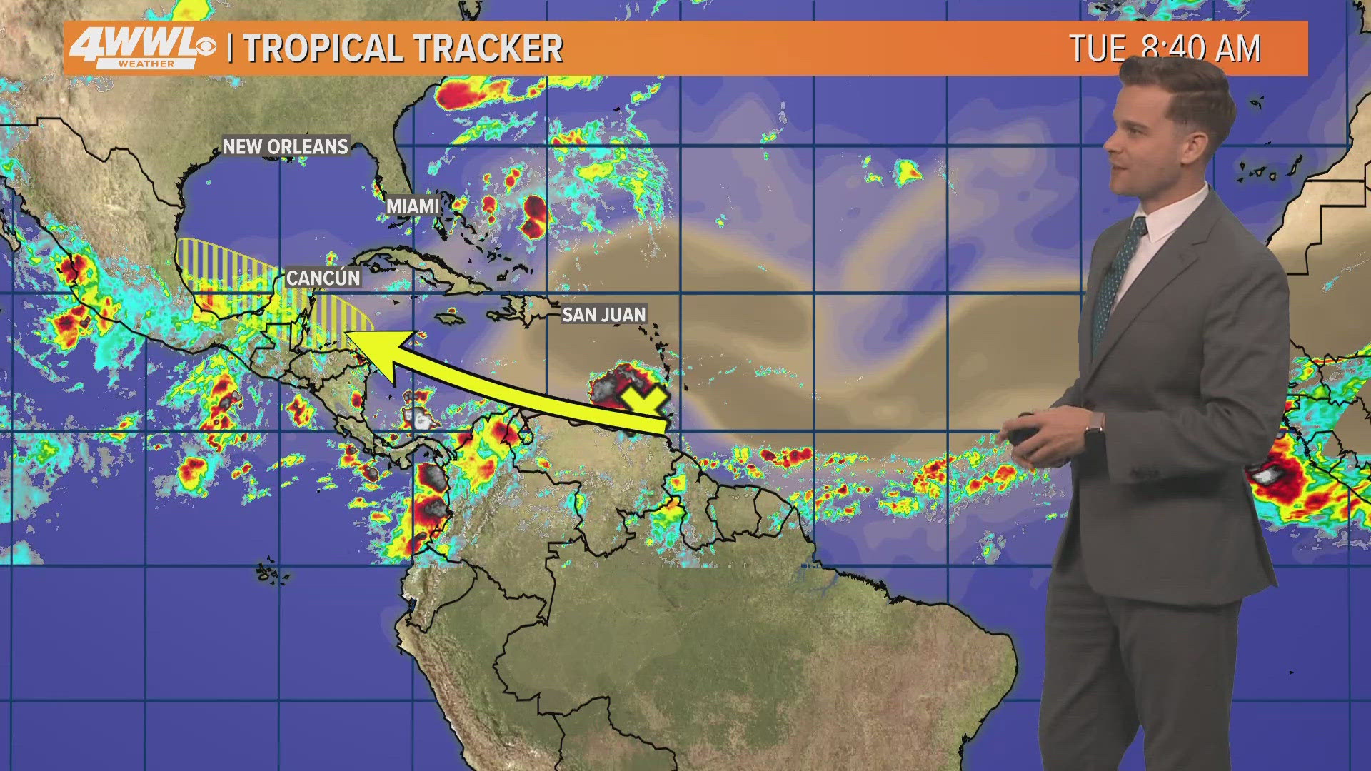
NEW ORLEANS — Sarahan dust is a common feature during hurricane seasons. This year the start of the dust moving off the continent of Africa has been slow, but the first big plume of the season is making its way across the Atlantic. The plume of dust will create hazy skies around the Caribbean islands this week.
By this weekend some of that Saharan dust will move toward the Gulf Coast of the United States. This can create a haze in the sky that is most noticeable during sunrise and sunset.
According to the National Oceanic and Atmospheric Administration, the Saharan Air Layer is a mass of very dry, dusty air that forms over the Sahara Desert during the late spring, summer, and early fall, and moves over the tropical North Atlantic Ocean every three to five days. Saharan Air Layer outbreaks usually occupy a 2 to 2.5-mile-thick layer of the atmosphere with the base starting about 1 mile above the surface.
The dust also creates a hostile environment in the tropics. Often times when we have large plumes of Saharan dust, the tropics struggle due to the dry air associated with dusty air.
Eventually the large outbreaks of dust begin to relax as we head into August and September, so it’s not coincidence that is when hurricane season typically ramps up.


► Get breaking news from your neighborhood delivered directly to you by downloading the new FREE WWL-TV News app now in the IOS App Store or Google Play.

