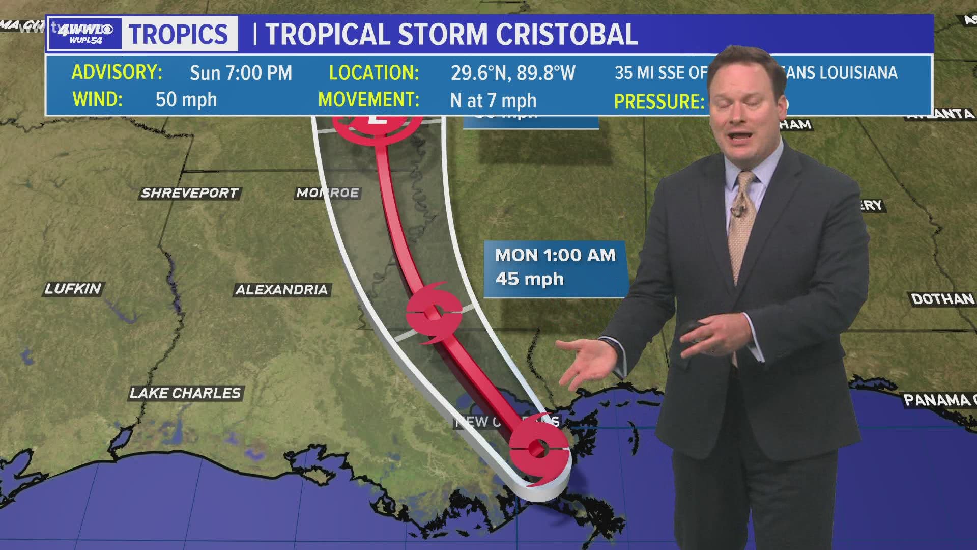
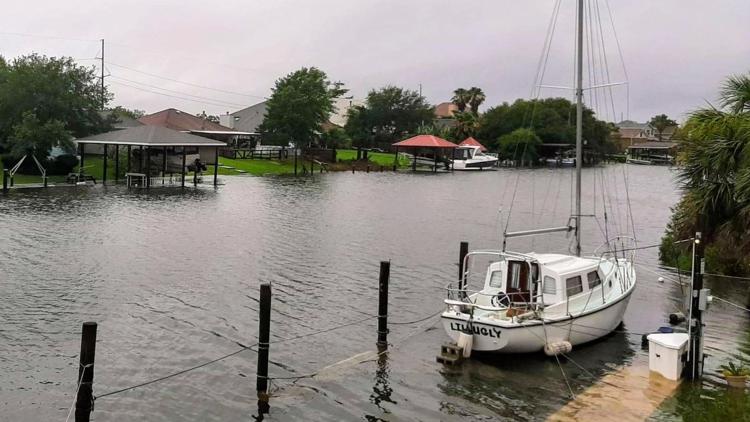
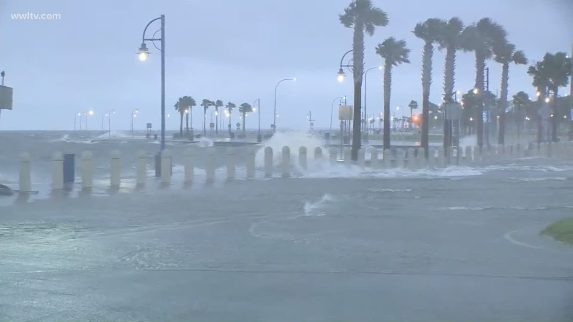
NEW ORLEANS — Tropical Storm Cristobal made landfall along southern Plaquemines Parish just west of Port Sulphur around 5:00 PM Sunday.
Some showers and rain bands will continue to spiral over especially the Mississippi Coast and Northshore areas on Sunday evening. A Flash Flood Watch remains in effect until Tuesday morning with rain totals around 2-6+ inches.
See live updates on the storm below
5:10 PM: Cristobal makes landfall in Louisiana
According to the National Hurricane Center, Tropical Storm Cristobal made landfall in Southeast Louisiana just after 5 p.m. The storm continues to move north around 7 mph.
4:15 PM: Gulf Shores waterspout
4 PM: New coordinates on Cristobal
he 4 PM advisory from the National Hurricane Center says Cristobal's max winds remain at 50 mph, but it is now moving a little faster north at 7 mph.
The storm is better organized with rain wrapping around all sides now, but since it's so broad the system will not strengthen anymore. The storm has also slowed, but remains very broad and has multiple circulations within the main circulation. This creates some uncertainty with the exact location of landfall, but it doesn't change the potential impacts. The main impacts will be storm surge due to the strong onshore flow and flooding rains within rain bands. Full Update
3:40 p.m. Here is the update from Venetian Isles from our Meghan Kee
2 p.m. Voluntary evacuation in Venetian Isles
A voluntary evacuation has been called for in Venetian Isles in New Orleans. The storm surge forecast has not increased but Cristobal has slowed down, making it a more concerning situation.

1 p.m.: Cristobal slows down
The 1 PM advisory from the National Hurricane Center says Cristobal's max winds remain at 50 mph, but it is now moving north slower at 5 mph.
The storm is better organized with rain wrapping around all sides now, but since it's so broad the system will not strengthen anymore. The storm has also slowed, but remains very broad and has multiple circulations within the main circulation. This creates some uncertainty with the exact location of landfall, but it doesn't change the potential impacts. The main impacts will be storm surge due to the strong onshore flow and flooding rains within rain bands.
12:40 p.m. As storm approaches, state releases daily COVID-19 numbers
One of the biggest concerns surrounding Cristobal, besides the wind and rain, was how to deal with the storm during the coronavirus pandemic, which has taken the lives of 2,825 Louisianans since early March.
Even with the storm bearing down on the state, the Louisiana Department of Health released its daily coronavirus update, giving the latest information on new confirmed cases, deaths, hospitalizations and more.
Sunday's update showed that things remained relatively flat Sunday, with 330 new cases reported and 11 new deaths. Hospitalizations and those on ventilators both decreased slightly.
See the latest coronavirus data from the Louisiana Department of Health for Sunday, June 7 and the changes from yesterday below:
Confirmed Cases: 42,816 (+330)
Deaths: 2,825 (+11)
Patients in hospital: 575 (-7)
Patients on ventilators: 74 (-3)
Presumed Recoveries: 31,728 (Updated Mondays)
11:40 a.m.: Multiple flights cancelled in New Orleans, but airport remains open
Several airlines have cancelled their flights to and from the New Orleans Airport Sunday as Tropical Storm Cristobal approaches Louisiana.
According to MSY's online flight status tracker as of around noon Sunday, more than half of departing and arriving flights had been cancelled into the afternoon.
Almost of the cancellations were Southwest Airlines flights, with Frontier and Allegiant Airlines both cancelling a flight.
Flights are already done to historic lows due to the coronavirus pandemic, and airlines likely don't want to take any chances with Tropical Storm Cristobal expected to make landfall in a few hours, bringing 50 mph winds and heavy rain.
11:05 a.m.: Some schools closing Monday
Two schools have reported to WWL-TV that they will be closed Monday, June 8 due to Tropical Storm Cristobal.
St. Matthews Early Learning center in Metairie will be closed June 8th due to tropical storm Cristobal, director Jillian Patterson said.
St. Louis King of France Catholic School announced several closures for Monday.
The SLKF Little Crusaders, Camp Crusader and school offices will be closed Monday, with plans to resume as normal Tuesday.
"We offer prayers of safety to all," said Early Childhood Director Stacie Bourgeois.
10:45 a.m.: S&WB: There will be flooding in New Orleans
In a series of tweets Sunday, the Sewerage and Water Board acknowledged that New Orleans would have street flooding during Tropical Storm Cristobal, saying that the loss of a power-generating turbine could force them to ration power and operate fewer pumps at a time.
The update from S&WB came hours after city officials gave the thumbs up on being prepared for the storm live on WWL-TV.
"We want the public to be aware that the intensity of some of these downpours may outpace our drainage system," S&WB said. "New Orleans' drainage system can collect and move considerable amounts of water in real-time, but it has limits. It is not designed to keep streets completely free of stormwater during a rain event."
10:25 a.m.: President Trump to sign Louisiana emergency declaration for TS Cristobal
President Donald Trump tweeted in regards to incoming Tropical Storm Cristobal Sunday morning, saying he would be signing an emergency declaration to aid Louisiana in case of damages.
"At the request of @SenJohnKennedy & @SenBillCassidy of the Great State of Louisiana, I will be approving & signing today an EMERGENCY DECLARATION which will help with all aspects of the big storm that is currently hitting your shores. FEMA is already there. God Bless You!" Trump tweeted.
An emergency declaration allows the federal government to aid states in various ways, including reimbursement for emergency spending in response to natural disasters.
10 a.m.: Cristobal shifts East slightly, strength the same
The 10 AM advisory from the NHC shows that not much has changed with Cristobal since earlier. Max winds remain at 50 mph and movement is northerly to northwesterly at 12 mph. The current position is 90 miles south of New Orleans. Landfall has shifted slightly to the east near Port Fourchon.
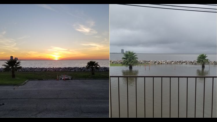
Storm surge will arrive later this morning and continue into the evening as Cristobal makes landfall. Here is what is expected
- 3-5 feet between the Mouth of the Mississippi River to Ocean Springs, MS.
- 1-3 feet across Lake Pontchartrain.
- 2-4 feet from Morgan City to the Mouth of the Mississippi River
Rain bands will also bring the threat of weak tornadoes. The Storm Prediction Center has placed all of the area in a Slight Risk (Level 2 of 5) for tornadoes.
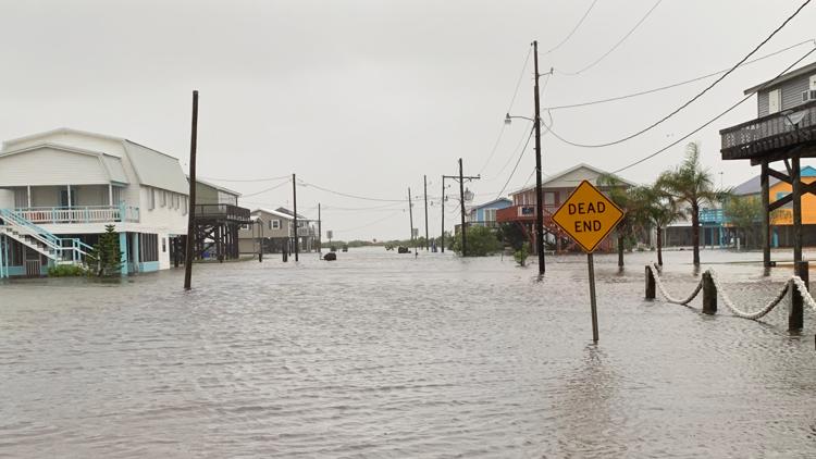
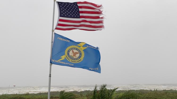
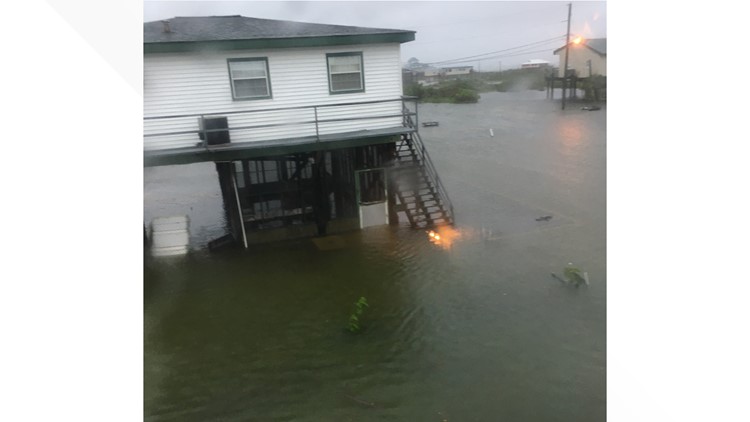
9:10 a.m.: Flooding increases in Grand Isle
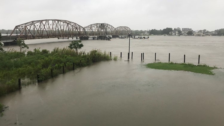
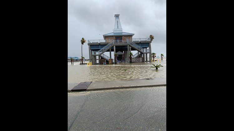
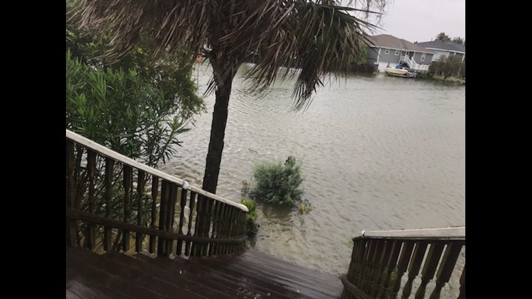
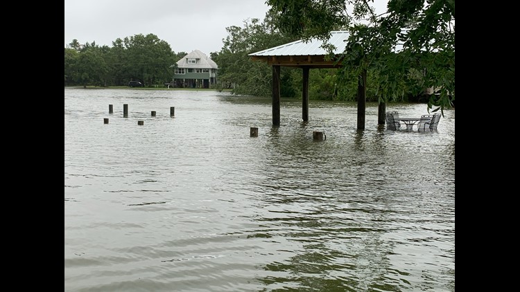
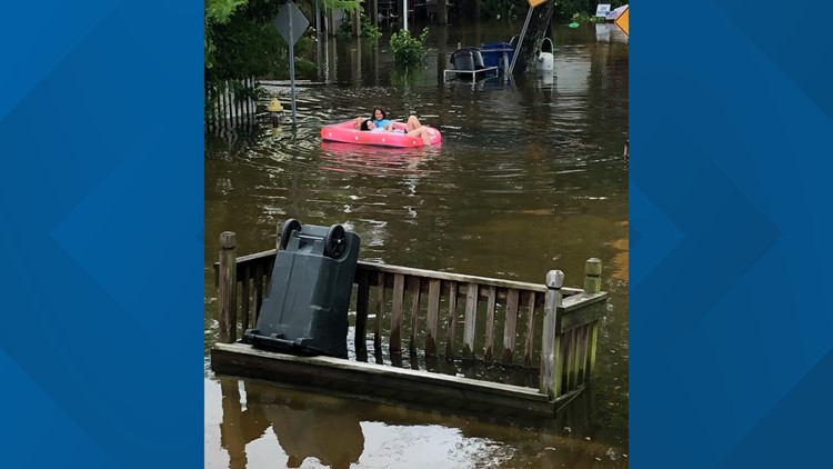
More images and videos coming out of Grand Isle show water rising in the streets as Cristobal gets closer to the Louisiana coastline.
Grand Isle and those below the levee system are no strangers to flooding, and Grand Isle Mayor David Camardelle ordered a mandatory evacuation for the island Saturday. They are projected to get several feet of storm surge before the storm is gone late Monday.
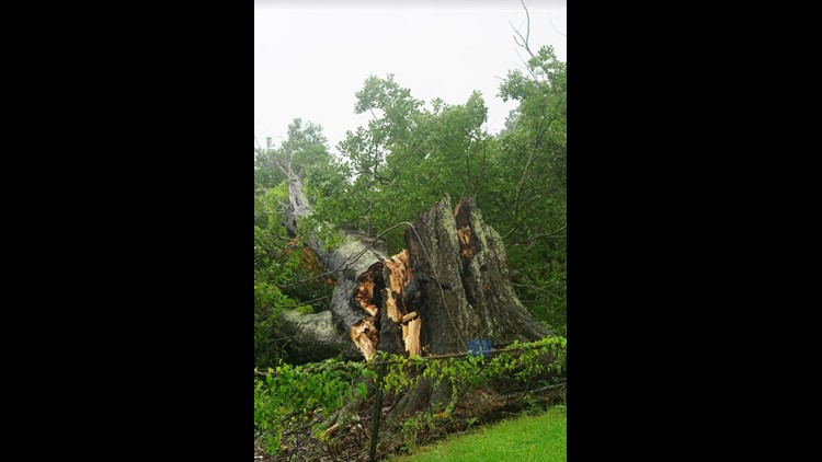
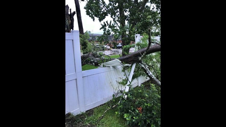
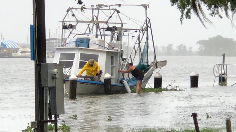
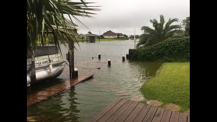
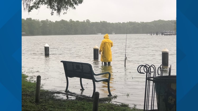
Photos: Tropical Storm Cristobal strikes southeast Louisiana
8:50 a.m.: Sandbags still available in some parishes
St. John the Baptist Parish announced its sandbag locations are now closed because of storm impacts from Cristobal.
However, locations to get free sandbags to fight flooding are still open in St. Tammany, St. James and St. Charles parishes, as well as in Hancock County, MS.
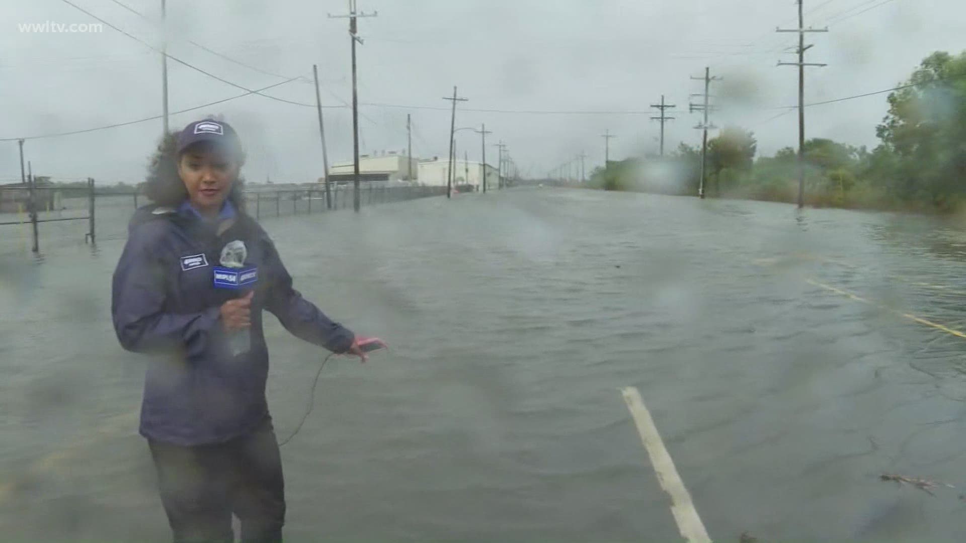
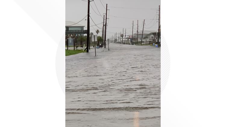
8:25 a.m.: Dangerous street flooding in St. Bernard Parish
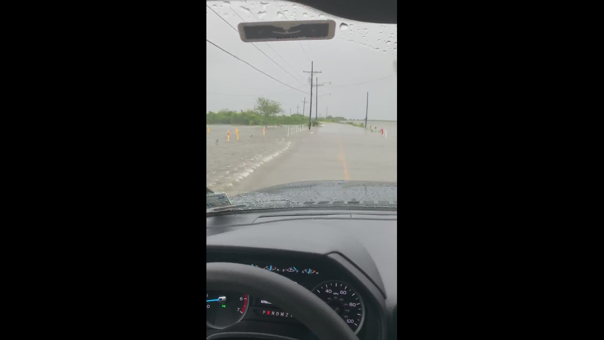
The St. Bernard Parish government is reporting significant street flooding on some road ways ahead of Tropical Storm Cristobal's landfall on Louisiana Sunday afternoon.
A video tweeted out Sunday morning shows water completely covering a road in the parish with several inches of water.
"Streets are beginning to flood in Hopedale and Yscloskey in St. Bernard Parish. Please do not travel outside the levee system unless absolutely necessary," officials wrote.
They also said both Florissant Highway and Delacroix Highway will be closed before nightfall due to dangerous conditions.
Parish officials urged people not to go to Lower St. Bernard Parish outside of the levee system.
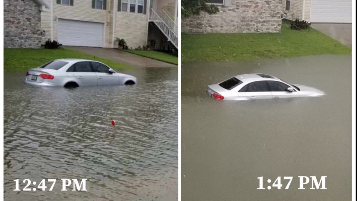
Vehicles are able to stall in just six inches of water, making driving on flooded roads very dangerous. More than a foot of standing water could make a small car float away, experts warn.
8:10 a.m.: 4,300 Entergy customers without power in JP
8:10 Update -
More than 4,300 Entergy customers in Jefferson Parish are currently without power as Tropical Storm Cristobal inches toward Louisiana.
Entergy's outage map showed multiple outages in the parish. A large amount of the outages are coming from one street in Kenner, where there are reports of 1,200 without power. Another outage spans between Woodmere and Bell Chasse Highway, south of Lapalco Boulevard.
The estimated restoration times for the power were not immediately available.
Officials with the utility said a team of 2700 workers along with their high-water vehicles are drones are ready to respond.
7:55 a.m.: Preparing for Cristobal during a pandemic
How has Louisiana prepared for Tropical Storm Cristobal during a pandemic and in the midst of nationwide protests? Mike Steele with the Governor’s Office of Homeland Security & Emergency Preparedness explains.
Watch below:
7:20 a.m.: New Orleans S&WB says drainage system ready for Cristobal
The Sewerage and Water Board says that despite lacking their main turbine and a recent generator going down, New Orleans' drainage system is ready for Tropical Storm Cristobal.
Collin Arnold, Director of New Orleans Homeland Security and Emergency Preparedness, said the S&WB has had no power issues in the past 24 hours. There had been about 1.6 inches of rain Saturday into Sunday morning, and the power remained stable.
That comes after the S&WB said one of their back-up generators went down and would be out for repair during Tropical Storm Cristobal, hurting the system's redundancy in case other generators were to go down.
The S&WB's main turbine, a major engine for the system, has also been down for repair since an explosion at their power plant in December. S&WB leaders warned this "severely hampered" drainage capability heading into hurricane season.
Now, however, officials say all 99 drainage pumps are available to be run Sunday into Monday in case of flooding, but to expect street flooding nonetheless. That flooding is largely dependent on the speed and intensity of rain, not the total.
7 a.m.: National Weather Service Advisory
The 7 AM advisory from the NHC shows that not much has changed with Cristobal since earlier. Max winds remain at 50 mph and movement is northerly at 12 mph. The current position is 70 miles south of Grand Isle. Landfall is still expected this afternoon near Cocodrie, LA.
The system remains very lopsided with most of the heavy rain and storms well displaced from the center. Very dry air seen on waver vapor imagery continues to to wrap around the southern side of the storm and into the center of circulation. However, it's still unclear what result the dry air will have on this storm.
Rainfall and coastal flooding are the main concerns. Winds are expected to pick up during the day and sustained around 30-50 mph with higher gusts especially near areas of water. This could cause some power outages.
Outer rain bands are moving across Southeast Louisiana this morning and they will increase in coverage as the day progresses. So far they have been brief tropical downpours, but anticipate more extensive heavy rain throughout the afternoon and tonight.
6:40 a.m.: Entergy mobilizes 2700 workers for Cristobal
Entergy will be working to restore any power outages caused by Tropical Storm Cristobal as quickly and safely as possible, a spokesperson said ahead of the storm.
Officials with the utility said a team of 2700 workers along with their high-water vehicles are drones are ready to respond.
Entergy officials remind residents to avoid any downed power lines and report any natural gas leaks.
Officials also said crews working the storm will follow all CDC and state coronavirus safety guidelines, and ask that customers do the same by staying clear of work zones.
Customers can call 1-800-ENTERGY at any time to report outages or other service issues.
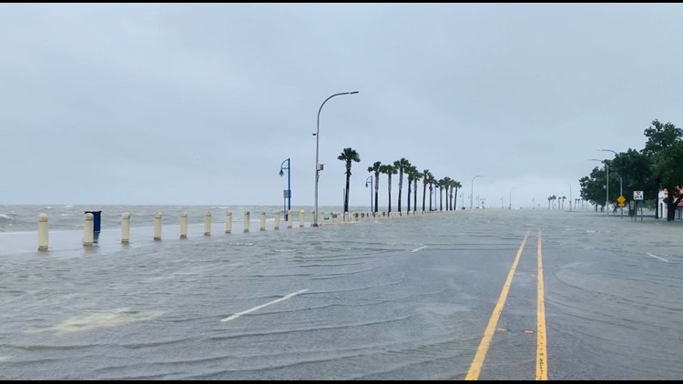
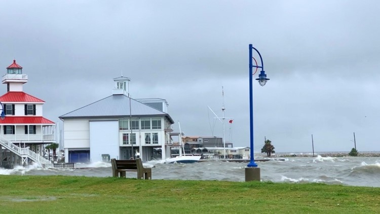
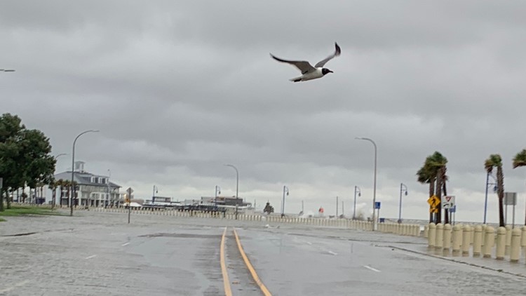
6:20 a.m.: A look at New Orleans lakefront ahead of TS Cristobal
The New Orleans Lakefront already has some storm surge into the street and some winds, but as WWL-TV's Danny Monteverde reports, so far it's mild tropical weather that's to be expected.
Watch below:
6 a.m.: Watch live coverage of Cristobal's arrival from WWL-TV
We'll be covering Cristobal's impacts on our area non-stop on live TV and here on our website and social media pages. Watch below for a live feed of the coverage:
You can send us your storm photos and videos through our app, social media pages or by texting them to 504-529-4444. Thank you for helping us track Cristobal!
4:30 a.m.: Areas under evacuation orders
Several Louisiana parishes have ordered either mandatory or voluntarily evacuations for vulnerable areas under their jurisdiction.
There are two mandatory evacuations that went into effect over the weekend: Grand Isle in Jefferson Parish and parts of Lafourche Parish and Terrebonne Parish outside levee system protection.
Voluntary evacuation orders are in effect for other parts of Jefferson Parish life Lafitte, as well as low-lying areas in Plaquemines Parish and St. John the Baptist Parish.
4 a.m.: Cristobal expected to make landfall later today, 'high flood risk' in effect
The 4 AM advisory from the NHC shows that not much has changed with Cristobal since earlier. Max winds remain at 50 mph and movement is northerly at 12 mph. The current position is 140 miles from the mouth of the Mississippi River. Landfall is still expected this afternoon near Cocodrie, LA.
Rainfall and coastal flooding are the main concerns. Winds are expected to pick up during the day and sustained around 30-50 mph with higher gusts especially near areas of water. This could cause some power outages.
The system remains very lopsided with most of the heavy rain and storms well displaced from the center. Right now, dry air is keeping most of the thunderstorms displaced from the center and well east over the eastern Gulf and Florida.
More Tracking Cristobal
► Sign up for the 4 Things to Know email newsletter to get tropical weather headlines delivered to your inbox. Click here to sign up!

