
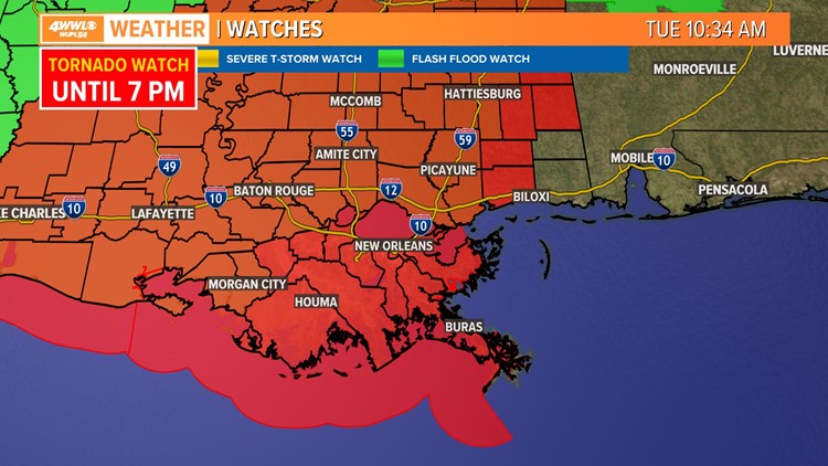
NEW ORLEANS — The National Weather Service's Storm Prediction Center has issued a tornado watch for most of Louisiana on Tuesday morning.
A tornado watch is in effect for the following parishes/ counties in the WWL-TV viewing area until 7 p.m. Tuesday: Jefferson, Lafourche, Orleans, Plaquemines, St. Bernard, St. Charles, St. James, St. John the Baptist, St. Tammany, Tangipahoa, Terrebonne, Washington parishes and Hancock and Pearl River counties.
A tornado watch means that tornadoes are possible in and near the watch area. A watch area is typically large, covering numerous parishes, counties, or states.
Before the severe weather arrives, it is a good idea to bring in or tie down outdoor furniture and other items that could be blown away. Avoid unnecessary car trips - you do not want to be caught outside if a tornado is nearby.
Be prepared to act quickly if a warning is issued or you suspect a tornado is approaching. Watch out for dark, rotating clouds and take shelter immediately if you see one. And turn on your TV or radio to get the latest weather updates and emergency instructions.
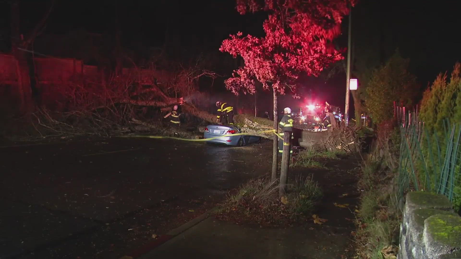
More than a dozen people were injured when tornadoes tore parts of Texas and Oklahoma, damaging a school, homes and businesses, officials said. The same storm system was poised to move into Louisiana and Mississippi on Tuesday, carrying the risk of dangerous tornadoes and powerful winds.
The storms were expected to intensify throughout the day as temperatures rise, increasing the threat of tornadoes, hail and strong winds. Much of Louisiana and Mississippi were at a moderate risk of severe weather Tuesday, the second-highest risk category issued by the Storm Prediction Center.
“We’re still a bit uncertain on just how intense and how longer-lived some of these tornadoes may be, so we’re going to be just below that threshold of the greatest risk,” said Jeremy Grams, lead forecaster with the Storm Prediction Center, in Norman, Oklahoma.
Forecasters were predicting intense tornadoes and widespread damaging winds, some hurricane-force with speeds of 75 mph or greater, in much of Mississippi, southern and eastern Louisiana, and western Alabama.
Louisiana's federal and state authorities reminded thousands of hurricane survivors living in government-provided mobile homes and recreational vehicle trailers to have an evacuation plan because the structures might not withstand the expected weather. More than 8,000 households live in such temporary quarters, officials said.
► Get breaking news from your neighborhood delivered directly to you by downloading the new FREE WWL-TV News app now in the IOS App Store or Google Play.
The Associated Press contributed to this report.