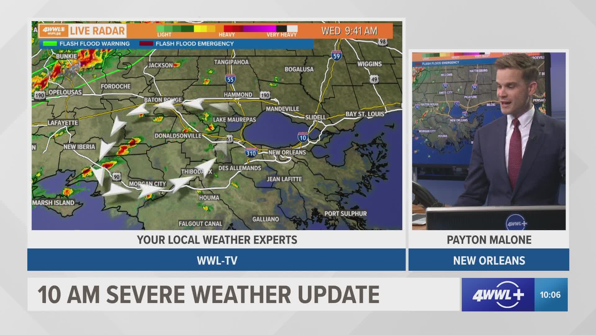
NEW ORLEANS — A potent storm system blowing across the country is forecast to move into Louisiana on Wednesday, bringing with it the possibility of flash flooding and tornadoes.
The main line of bad weather will move through central and southeast Louisiana through Wednesday afternoon and evening. The timing of the storms will be mainly in the afternoon hours until 8 p.m. Most rain will be gone by about 9 p.m.
There is a threat of damaging winds, a few strong tornadoes and heavy rain. The National Weather Service in New Orleans has issued a Flood Watch for most of the state through Wednesday evening. Forecasters expect between one to three inches of rain for our area, with some spots getting higher amounts.


Excessive rainfall could cause flooding of rivers, streams and other low-lying flood-prone areas, including streets with poor drainage. You should monitor later forecasts and be alert for possible flood warnings. Those living in areas prone to flooding should be prepared to take action should flooding develop.
The entire line of storms is expected to clear the area by 8 p.m. followed by cold air. Thursday will be cooler and sunny.
The storm system has already spawned tornadoes in parts of Oklahoma and Texas, including the Dallas-Fort Worth area, as much of the central United States from the Rocky Mountains to the Midwest braced Tuesday for blizzard-like conditions.
The severe weather threat continues into Wednesday for Louisiana, Mississippi, Alabama and the Florida Panhandle.
“It will be a busy week while this system moves across the country,” said Marc Chenard, a meteorologist at the National Weather Service's headquarters in Maryland.
The weather is part of the same system that dumped heavy snow in the Sierra Nevada over the weekend before moving east.
► Get breaking news from your neighborhood delivered directly to you by downloading the new FREE WWL-TV News app now in the IOS App Store or Google Play.
The Associated Press contributed to this report.

