
NEW ORLEANS — UPDATE: For the latest on power restoration parish by parish click here.
The first of what are expected to be at least three rounds of storms between late Thursday and Saturday at noon struck late Thursday night, knocking out power to 65,000 in the metro area, primarily in Jefferson Parish and Tangipahoa, according to Entergy's power map. Cleco showed over 9,000 customers without power in St. Tammany.
The power outages caused some schools to close and others to go virtual.
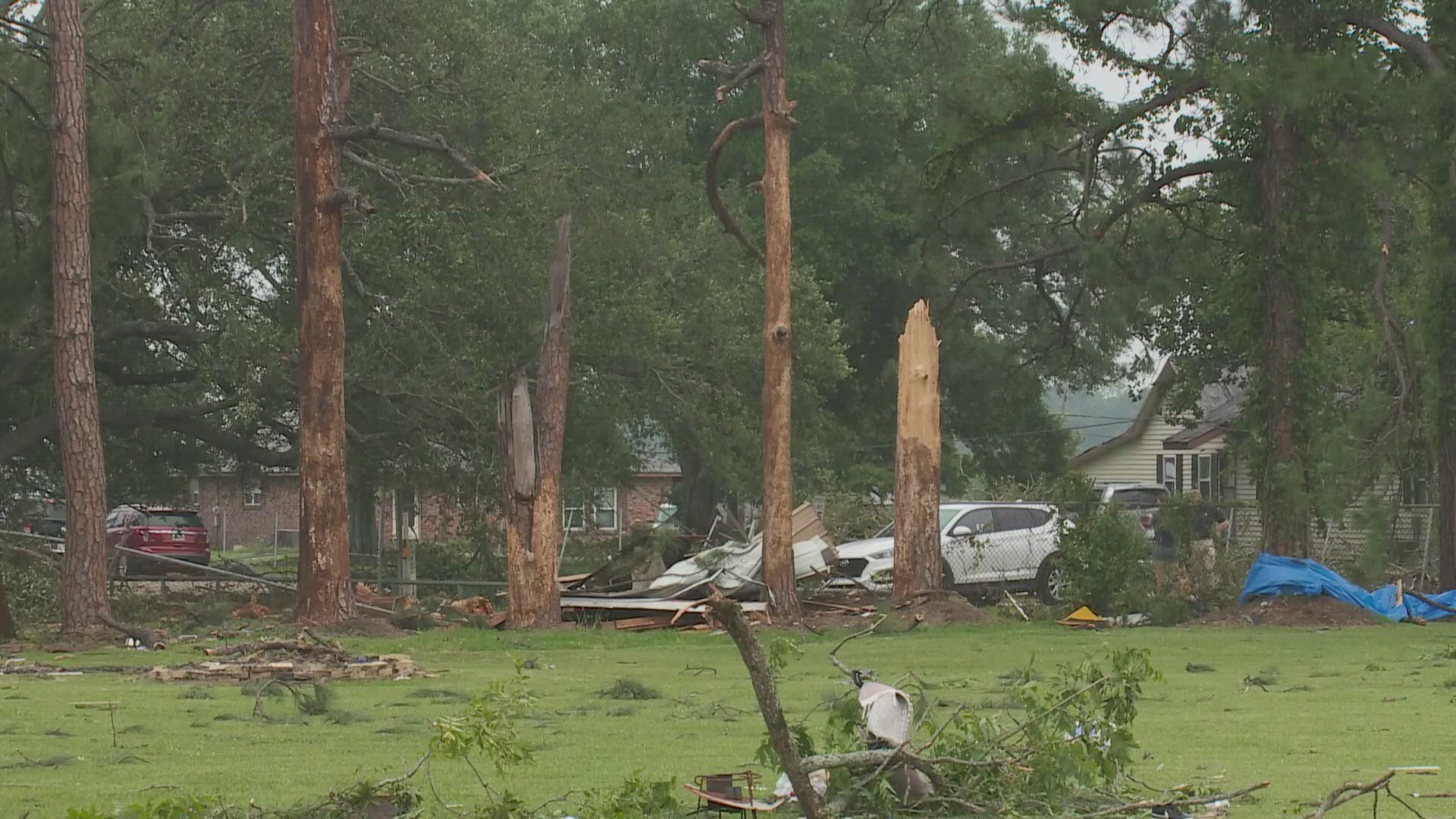
The storms spawned a tornado warning and a confirmed tornado in St. James Parish followed by some severe thunderstorm warnings and a flood advisory for the majority of southeast Louisiana.
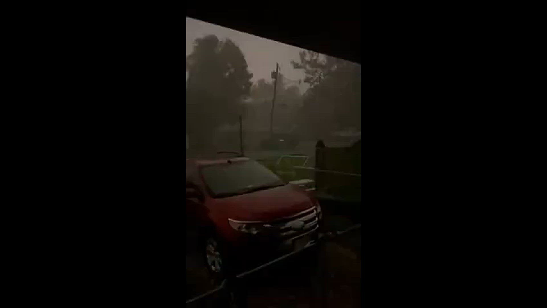
Winds of up to 84 mph were reported at Armstrong International Airport and sustained winds at the airport were 60 mph, causing most residents cellphones to go off with a warning around 11:30 p.m.
WWL Louisiana meteorologist Payton Malone referred to the phenomenon that produced the high wind speeds as a "bookend vortex" that somewhat resembles a hurricane.
There were reports of trees and power lines down in the St. James Parish community of Romeville from a tornado. On Friday evening, the National Weather Service confirmed the twister was in fact an EF-1 tornado with a peak wind of 105 mph and a maximum width of 120 yards.
The entire New Orleans metro area is under a level 2 chance of severe weather for late Friday night into early Saturday morning.
Nearly 65,000 people were without power as storms move through the area. But according to Entergy and Cleco's power outage maps as of 7 p.m. on Friday those combined numbers were 17,000.
Orleans Parish is allowing neutral ground parking has been extended until Saturday, May 18 at 10 a.m.
Winds in Kenner near the airport from a WWL Louisiana viewer
More severe weather Friday and Saturday
There are more, similar rounds of severe weather expected over Friday and Saturday. The storms Thursday night and Friday morning were unexpectedly strong, but the three rounds of storms are expected to bring up to 7 inches of rain in some areas, making flooding a threat as the ground stays saturated.
This is a breaking story, stay tuned to WWL for more updates.