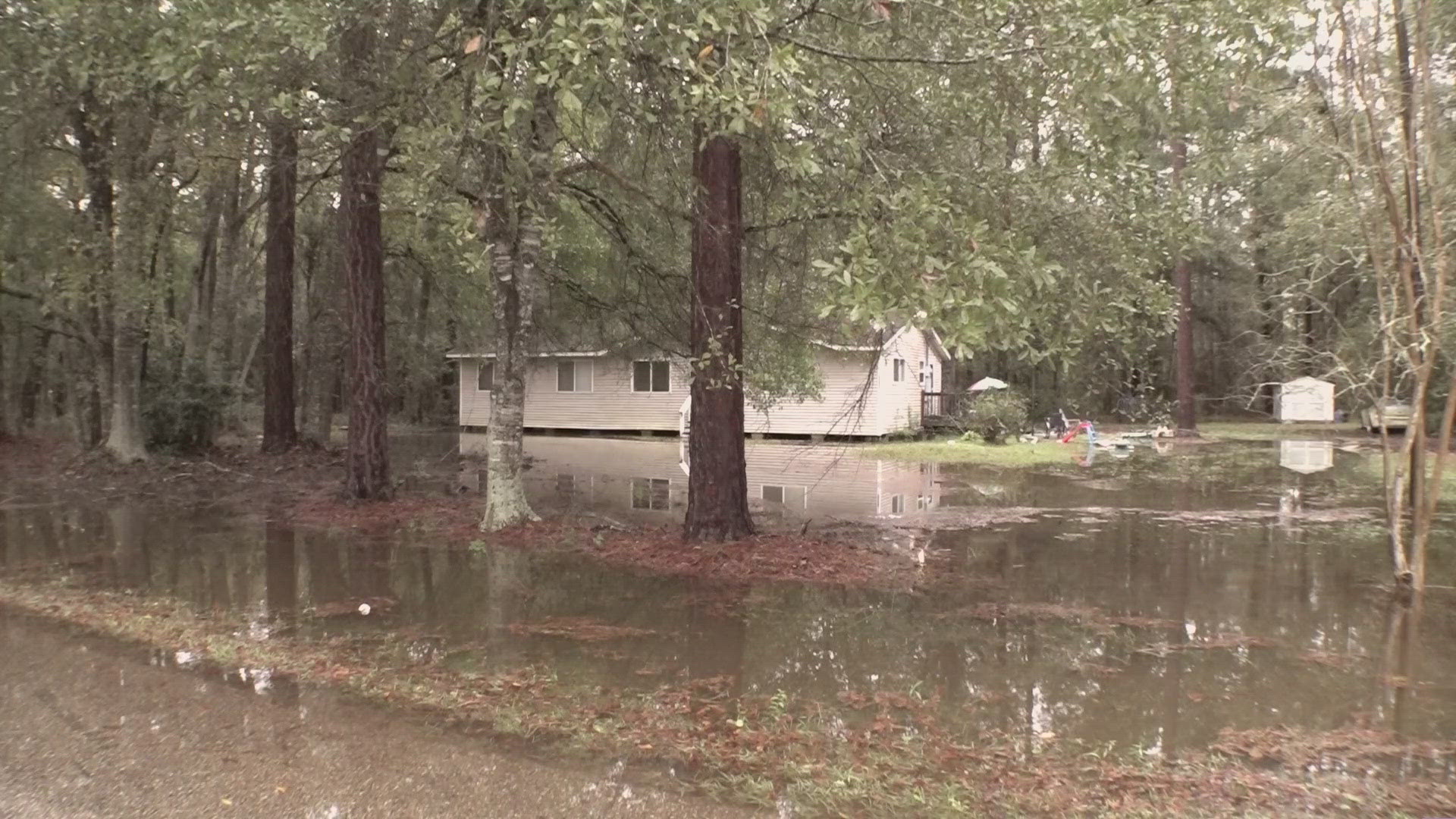


NEW ORLEANS — One last batch of rain and storms that should be coming to an end by mid morning Saturday could bring chances of street flooding as already saturated grounds get another dose of a few inches of rain.
A flood watch continues until noon for all of southeast Louisiana following two days of rain and high winds caused power outages, some that are expected to last until Sunday.
In New Orleans, the city is allowing parking of cars on neutral grounds during a flood advisory that is expected to end around 6:30 a.m.
According to the National Weather Service, additional rainfall of 2 to 4 inches are expected over the area and could result in flooding.
Areas that could be succeptible to flooding include: New Orleans, Thibodaux, Napoleonville, Reserve, Hahnville, Laplace, Avondale, Metairie, Marrero, Harvey, Timberlane, Belle Chasse, Chalmette, Jefferson, Gretna, Harahan, Westwego, Gramercy, Lutcher and South Vacherie.
Following the rain, things are expected to clear up for at least a week and temperatures will roll back into the 90s.
Dry and very warm weather is on tap for Sunday with high temperatures in the upper 80s. An upper ridge of high pressure in the Gulf of Mexico will send high temperatures everyday next week into the low 90s and it'll be humid with plenty of sun.
SATURDAY:
80% chance numerous morning showers and storms. Some flooding possible. Drier afternoon. High: 85. Winds: W 4-8 mph.
SUNDAY:
Mostly sunny. Hot and humid. Low: S 72, N 67. High: 88.
MONDAY:
Mostly sunny. Hot and humid. Low: S 73, N 68. High: 90.