
NEW ORLEANS — Fall weather has finally arrived! And now get ready for winter! A bit more of a chill in the air tomorrow through Saturday as morning lows fall into the 30s/40s and low 50s for the next several mornings as well as a wind chill for Thursday and Friday. Feeling more like the 30s across much of the area and 40s South.
Afternoon highs will remain below average and only in the low to then mid 60s into Saturday.
As the upper low responsible for the winter-chill retreats, our cold air source is gone. Surface high pressure will begin to shift toward the East coast, bringing back a return flow from the Gulf increasing temps and humidity Sunday and into early next week.
Models are starting to come into some slight agreement with regards to the forecast around Thanksgiving, but not written in stone yet. Per the Euro, a weak front pushes through Tuesday, followed by a warming trend late into Wednesday and Thanksgiving, before a late night cold front brings the chill back for Black Friday. As well, the models hint at rain for Thanksgiving. Low confidence at this time for the Holiday forecast. Stay tuned.
Detailed Forecast:
TONIGHT:
Clear and colder. Wind chills 30s, 40s. Low: S 62, N 40. Winds: N 8-15+.
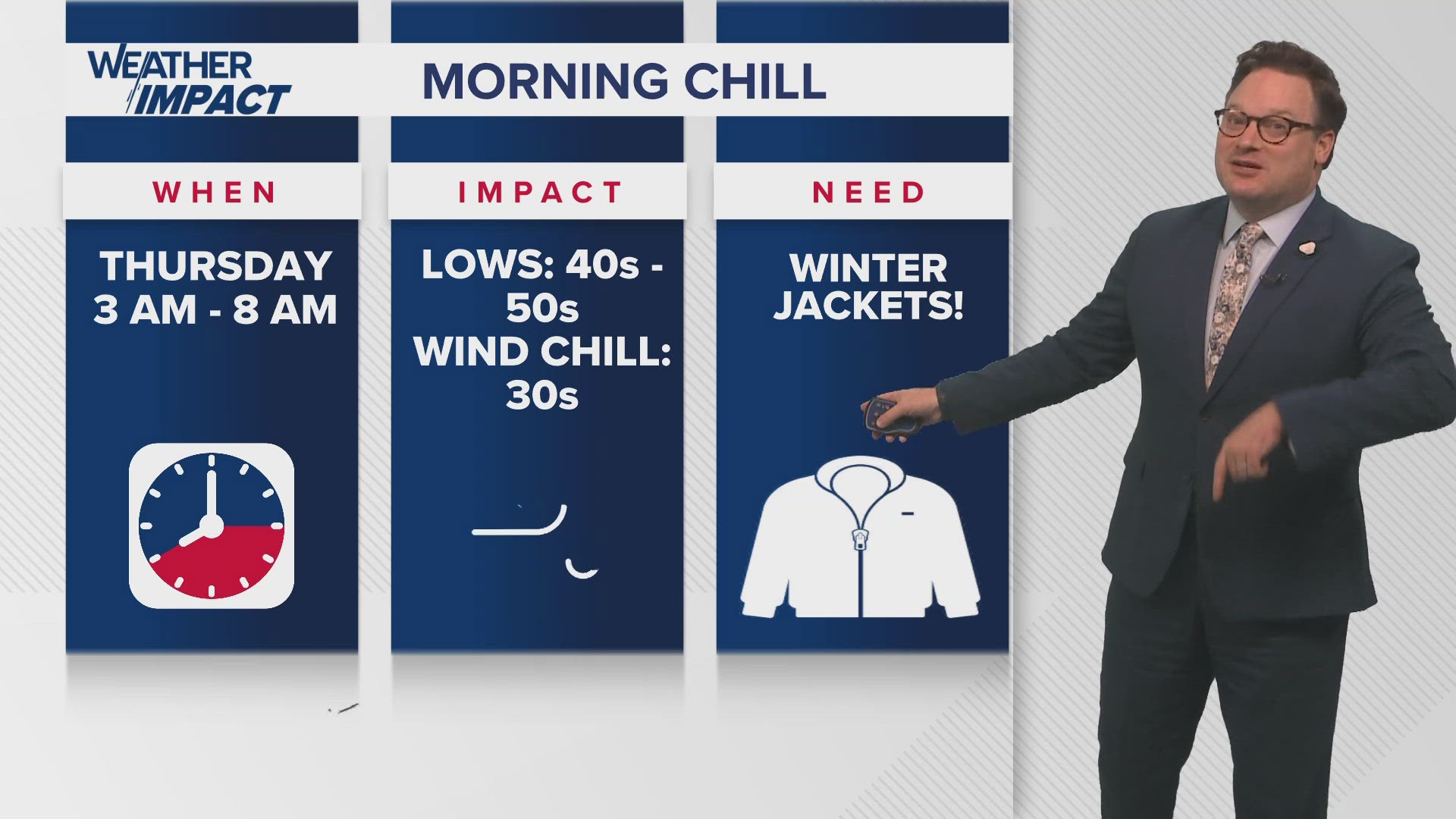
THURSDAY:
Colder AM. Sunny. Chilly PM. Breezy. High: 63. Winds: N/NW 8-15.
FRIDAY:
Sunny, chilly. Breezy. Low: S 48, N 38. Wind chill: 30s. High: 63.
SATURDAY:
Sunny, chilly. Some frost far north. Low: S 48, N 38. High: 66.
SUNDAY:
Mostly sunny. Warmer, slightly more humid. Becoming breezy. Low: S 53, N 45. High: 75.
MONDAY:
Sun to partly cloudy. Warmer, more humid. Breezy. Low: S 63, N 59. High: 78.
TUESDAY:
Mostly cloudy. 30% spotty showers, Milder temps. Low: S 65, N 61. High: 72.
WEDNESDAY:
Partly sunny. Mild. Low: S 60, N 52. High: 74.