NEW ORLEANS — The meteorologist-in-charge of the National Weather Service in New Orleans said on Twitter: "Southeast Louisiana will see minor effects from Hurricane Sally, but we dodged the bullet... again."
Meteorologist Benjamin Schott tweeted the news around 5:45 p.m. Monday, urging Coastal Mississippi to prepare for worsening conditions on Tuesday and Wednesday when Sally is projected to bring hurricane-force winds, storm surges and heavy rain — especially in Jackson County into Alabama.
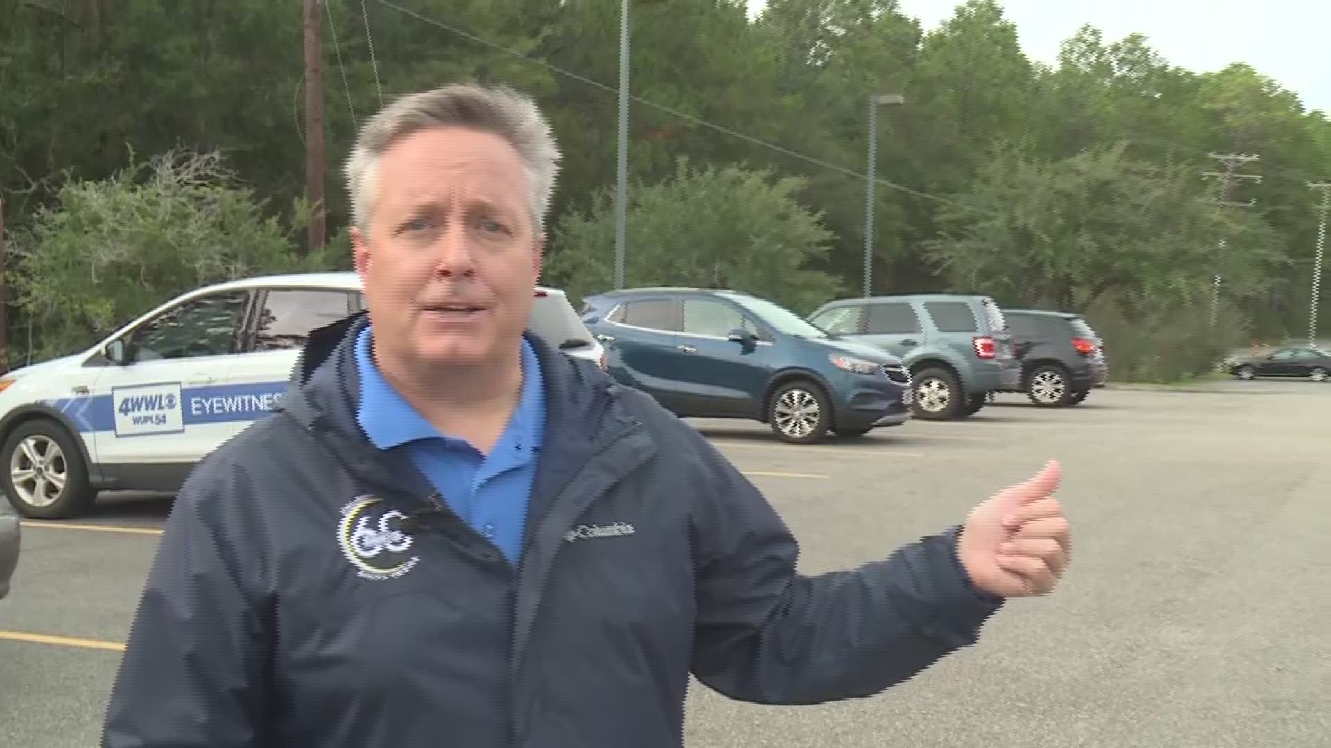
Outside the National Weather Service Office in Slidell, the meteorologist in charge told WWLTV's Doug Mouton only a small portion of Southeast Louisiana remains in Hurricane Sally's projected cone-path.
"We've had a drastic change in the way that Sally is tracking across the Gulf," Schott said. "The unfortunate result will be over Alabama and Mississippi, but for us here in Southeast Louisiana, there'll be minor impacts over just a very small area."
Schott said while possible, Hurricane Sally's track moving back west toward Southeast Louisiana is "pretty unlikely." A major move to the west is "very unlikely."
"Most of the modeling that we see right now is showing that easterly turn," Schott said Monday evening. "I would still say that though if you are in St. Tammany Parish or St. Bernard Parish, you may want to obviously keep an eye on this just in case. There is a little bit of wobble to the west, which a lot of these storms can do, and they are continuing to intensify with Sally."
Hurricane Sally's slow pace across the Gulf is a concern when it comes to the impacts it will have on the Gulf Coast, the meteorologist said.
"Usually, when you have storms moving across the Gulf, they're moving at 10 or 15 mph or faster, so you get them coming through in a day and then they're out of the area," Schott said. "This is one that we're going to be dealing with floating around the Northern Gulf roughly for the next 36 to 48 hours."
Because of its slow pace, Hurricane Sally will cause 'immense flooding' that is devastating and life-threatening.
"Wherever the heaviest amount (of rain) falls, which could be in excess of two feet, the amount of flooding is going to be immense, on top of — if it's close to the coast — you're going to have the surge, so those two things impacting an area can be devastating definitely life-threatening."
Slow-moving storms also build up water, intensifying storm surge.
"It's able to really build up that water and then work its way in, once it does come onto the shore," he said. "It's happening right now. If you look at Shell Beach or other gauges anywhere along the (Gulf Coast), you will see that rise. Now, some of that is attributed to the high tide that we saw this afternoon, but there's actually a surge starting to creep up as we speak. That's not unusual with the storm that's just to the south (of us)."
Southeast Louisiana falls on the more fortunate side of the storm, but nearby residents in Mississippi and Alabama will be measuring landfall in the feet in the next couple of days.
"There may be some rain tomorrow (for Southeast Louisiana), so it's not like we're going to be completely dry," Schott said. "But the rainfall amounts that we were projecting just a couple of days ago when the track was west of the mouth — we're just not going to realize those."
► Track the tropics, live updates from Your Local Weather Experts delivered directly to you throughout hurricane season by downloading the FREE WWL-TV News app now in the IOS App Store or Google Play.

