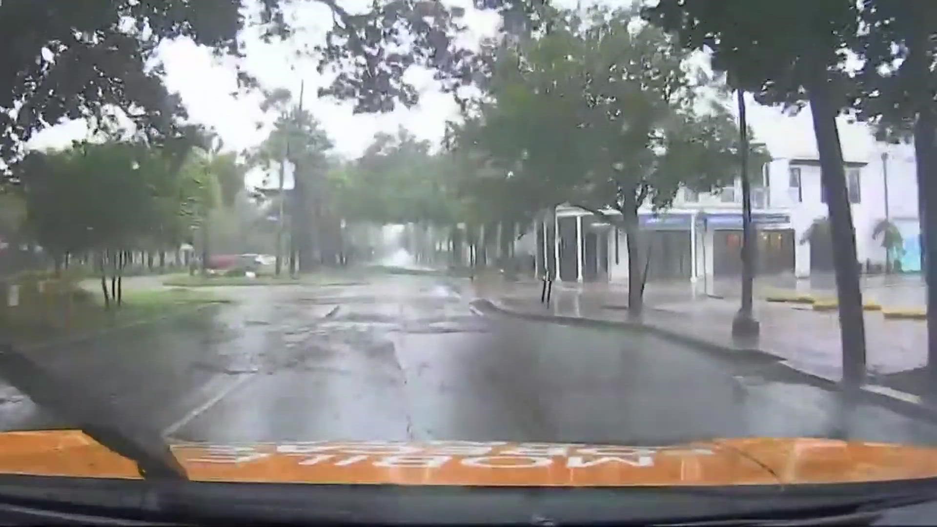
NEW ORLEANS — WWLTV crews are deployed to several areas in Southeast Louisiana to keep residents informed with live coverage of Hurricane Ida's impact.
WWLTV's Mobile Forecast Center is streaming live from the streets of New Orleans as impacts of the storm reach the streets of New Orleans.
Here are the expected impacts by different parishes as Hurricane Ida heads our way.
Most impacts will start by Sunday and linger into Monday. These threats are based on the current forecast and could change.
New Orleans Metro
(Orleans, Upper Jefferson, Upper St. Bernard, Upper Plaquemines)
- Wind: 100-110 mph, gusts to 130 mph
- Storm surge: 5-8 feet for Lake Pontchartrain.
- Storm Surge: 8-12 feet outside hurricane protection levee in Orleans
- Rainfall: Around 8-12"
- Few tornadoes possible
St. Tammany
- Wind: 60-70 mph, gusts to 85 mph
- Storm surge: 6-8 feet for Lake Pontchartrain
- Rainfall: Around 8-12"
- Few tornadoes possible
Lower Plaquemines & East St. Bernard
- Wind: 120-140 mph, gusts to 170+ mph
- Storm surge: 11-13 feet east bank & 12-16 feet west bank
- Rainfall: Around 6-10"
- Few tornadoes possible
Lower Jefferson
- Wind: 140-150 mph, gusts to 180+ mph
- Storm surge: 12-16 feet
- Rainfall: Around 8-15"
- Few tornadoes possible
Viewers looking for more live coverage of the storm's forecast can tune into WWLTV or watch live by downloading the FREE WWL-TV News app now in the IOS App Store or Google Play.
WWLTV is also streaming live coverage to Facebook and Youtube.
The Sewerage and water Board New Orleans released a statement on the outage:
As a city, we are currently experiencing the worst impacts from Hurricane Ida yet. Although we have lost all Entergy power, our teams are working quickly and decisively to make up for this with our self-generated power sources, including Turbines 4, 5, and 6 and EMD, as well as backup generators located at our drainage pumping stations.
The Entergy loss of power is a significant loss of power for our 60 hz pumps and the 25 hz pumps we power through the frequency changers, but we are using our self-generated sources of power to drain stormwater and pump drinking water into the city.
Lastly, this power loss also impacts our sewer pumping stations. Currently there is no backup power to operate any of those that were impacted. We are assessing how many of the 84 stations are impacted but the number may be very significant. We have worked to obtain backup power for some of these stations and we will mobilize those units when it is safe to traverse the city. In order to prevent sewage backups, we have asked residents to limit water usage at home, thus decreasing the amount of wastewater we must pump and treat.
This is a rapidly-developing and extremely fluid situation. We will keep you updated as circumstances develop
► Track the tropics, live updates from Your Local Weather Experts delivered directly to you throughout hurricane season by downloading the FREE WWL-TV News app now in the IOS App Store or Google Play.

