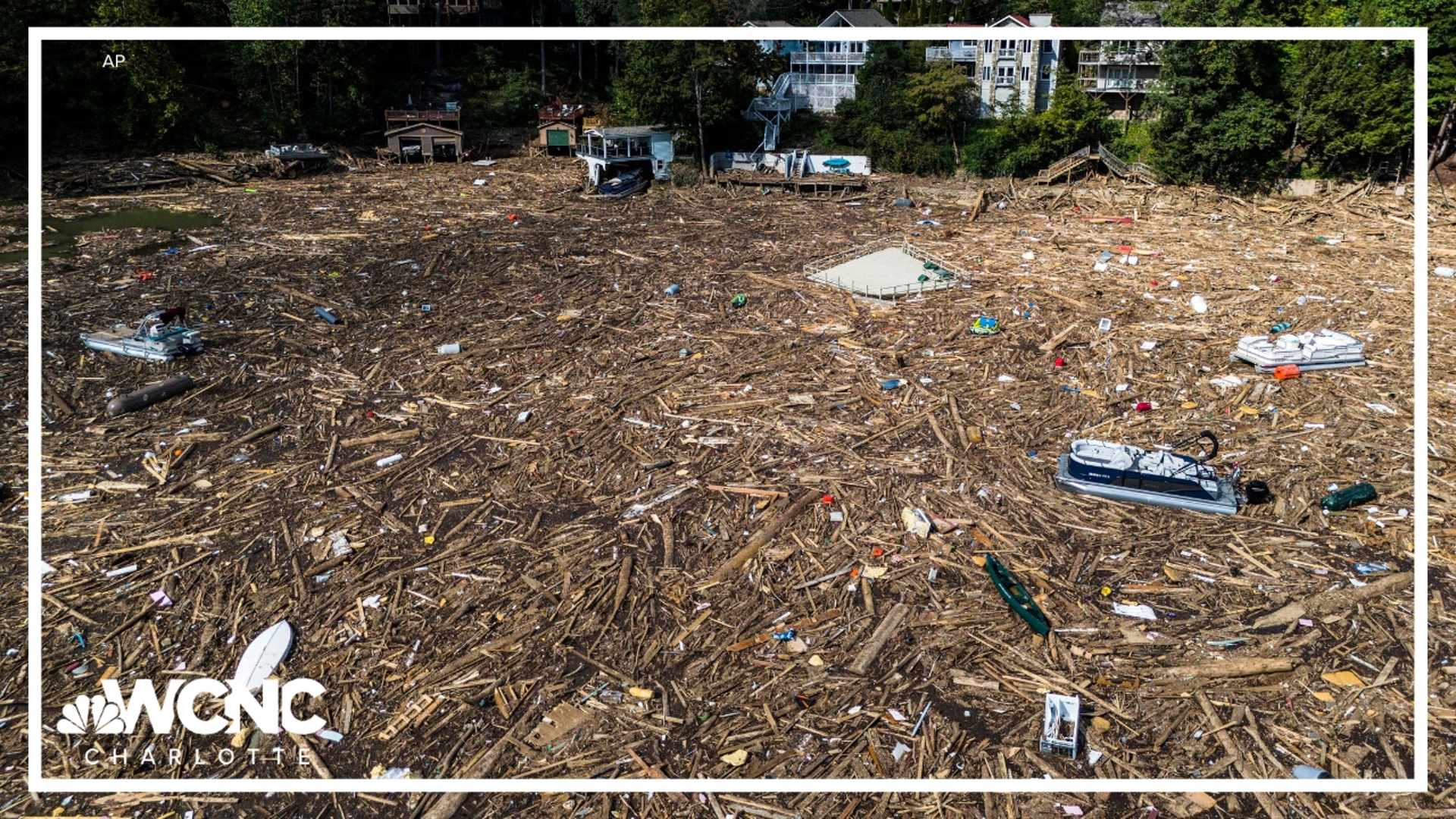
NEW ORLEANS - Tropical Storm Michael continues to weaken as it moves quickly northeast across Georgia, South Carolina and North Carolina.
Here are the latest models for Hurricane Michael
Can't see the images? You can click here
Here is the latest information on Hurricane Michael.
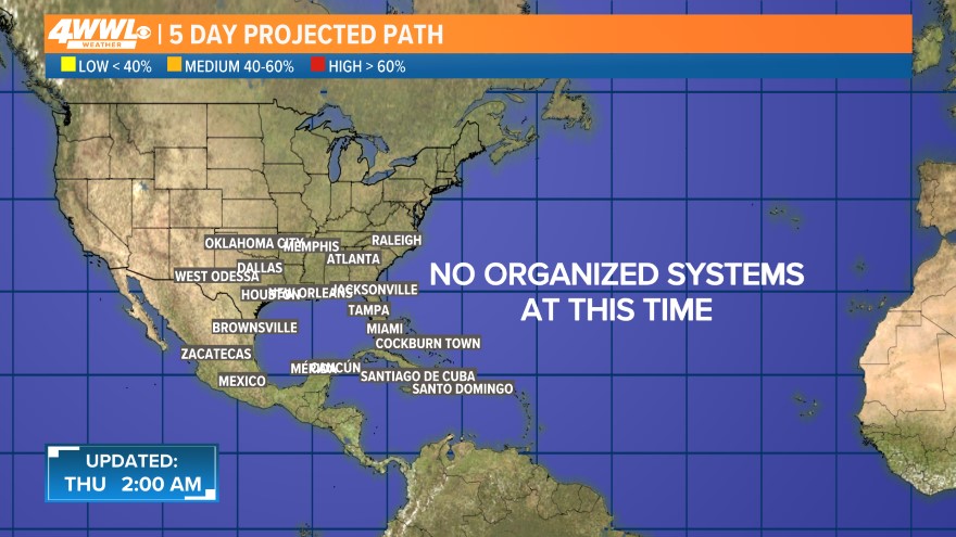
This is the latest "cone of uncertainty," which shows an area where the center of the storm could go, when and how strong it might be at the given time.
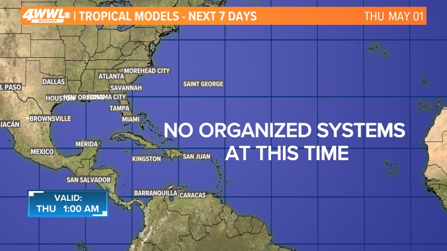
Each line represents a computer model's best "guess" of where the center of the storm will go. Together, they look like "spaghetti." Remember, the impacts from a tropical system can and do occur miles away from the center.
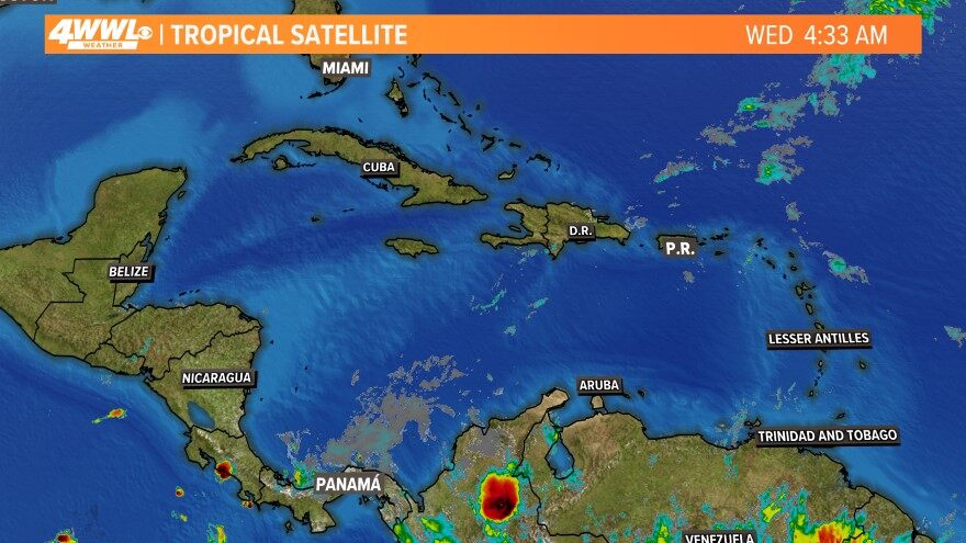
The latest satellite and radar image for the Gulf of Mexico, the Caribbean Sea and the Atlantic Ocean.
The above video is a constantly-updated weather loop of the tracks, models and Gulf satellite.
_____________________________________________________
Download the WWL-TV app
The best way to keep up with all of the developments in the tropics is to have the WWL-TV news app.
With the app, you can constantly see all of the computer models, storm tracks and the latest written and video forecasts.
We will also keep track of any business or street closures and road conditions.
You can also watch all of our newscasts - and - if the need arises, we will live stream the news 'round the clock.
We will also keep you abreast of breaking news by sending out pertinent news alerts directly to your phone.
To get the app on your phone, click on one of the icons below. (Can't see the images? Click here.)


