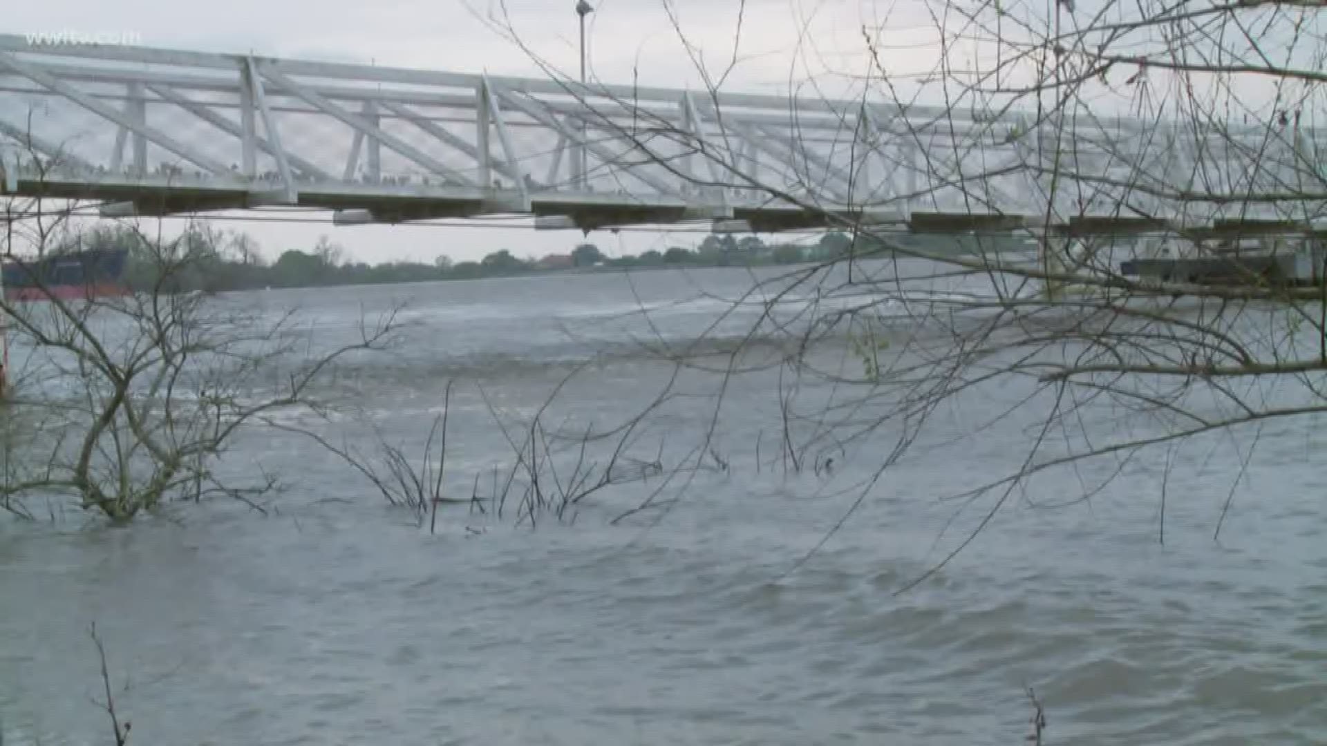
NEW ORLEANS — We call it the Mighty Mississippi. We see it in our backyards all the time. For many of us, it's our livelihood. But do people actually know how millions of us are connected by this river?
The Mississippi River is the second longest in North America, flowing 2,350 miles from Minnesota to the Crescent City.
A NASA map shows just how many streams and rivers flow into the Mississippi. The U.S. National Park Service says the river drains an area of about 3.2 million square kilometers, including all or many parts of 32 states and two Canadian provinces. That's about 40 percent of the United States.
Thus, when snow melts or when there's a major rain event up north, we have to pay attention to it down in the South.
That's where the Army Corps of Engineers comes in.
Last month, they opened up the Bonnet Carre Spillway, spewing thousands of tons of water into Lake Pontchartrain, helping relieve pressure on the main levees, maintain river stages and regulate the flow downriver from the spillway.
The Army Corps says the river crested Wednesday morning. They're expecting it to plateau at around 16.8 feet before it begins to fall.
In the meantime, they're monitoring the forecast up north and across the valley to see if there are any major changes coming down the river.
They're also working with local and federal partners so that everything works as designed.
Right now, the Army Corps of Engineers says they don't feel the need to open up the Morganza Spillway.

