

A blood-red sky heralded the arrival of the choking ash and acrid-smelling smoke. Firefighters in Wondalga, situated in southern New South Wales, Australia, rushed to combat the inferno that followed, and video that emerged from the scene showed them holding the line between the blaze and nearby vehicles. Roaring winds and the crackling of flames incinerating trees drowned out all other noise as the heat continued to intensify. Plumes of smoke took flight, leaving scorched earth in their wake. The wingspan spreads a few miles, blotting out the sun in some areas of other fires. From the brushfires, monstrous storms emerge.
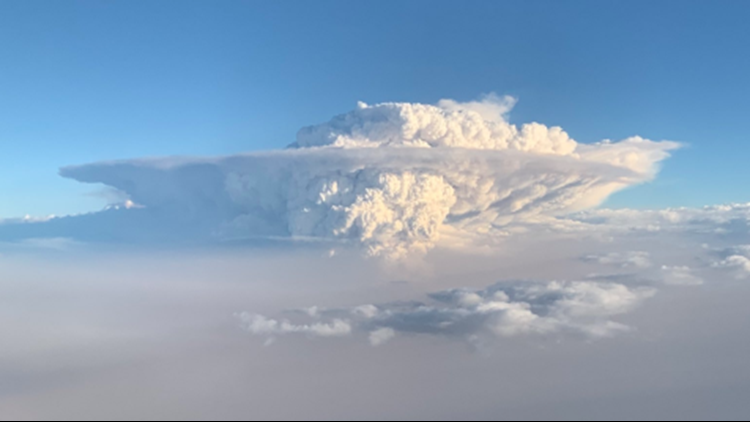
The brushfires of Australia have awakened what NASA has dubbed "the fire-breathing dragon of clouds."
The name of this draconic cloud is the pyrocumulonimbus, and it's just one of a handful of weather events that intense fires such as those that have been ravaging parts of Australia can spawn.
"Some of the fires in Australia have grown quite large. When they become so big, they can generate their own weather," AccuWeather Senior Meteorologist Dave Samuhel said.
Two types of clouds are known to come from large wildfires -- pyrocumulus and pyrocumulonimbus. The pyrocumulus cloud may form over brushfires due to the intense rising heat. Should they grow, they can become pyrocumulonimbus clouds.
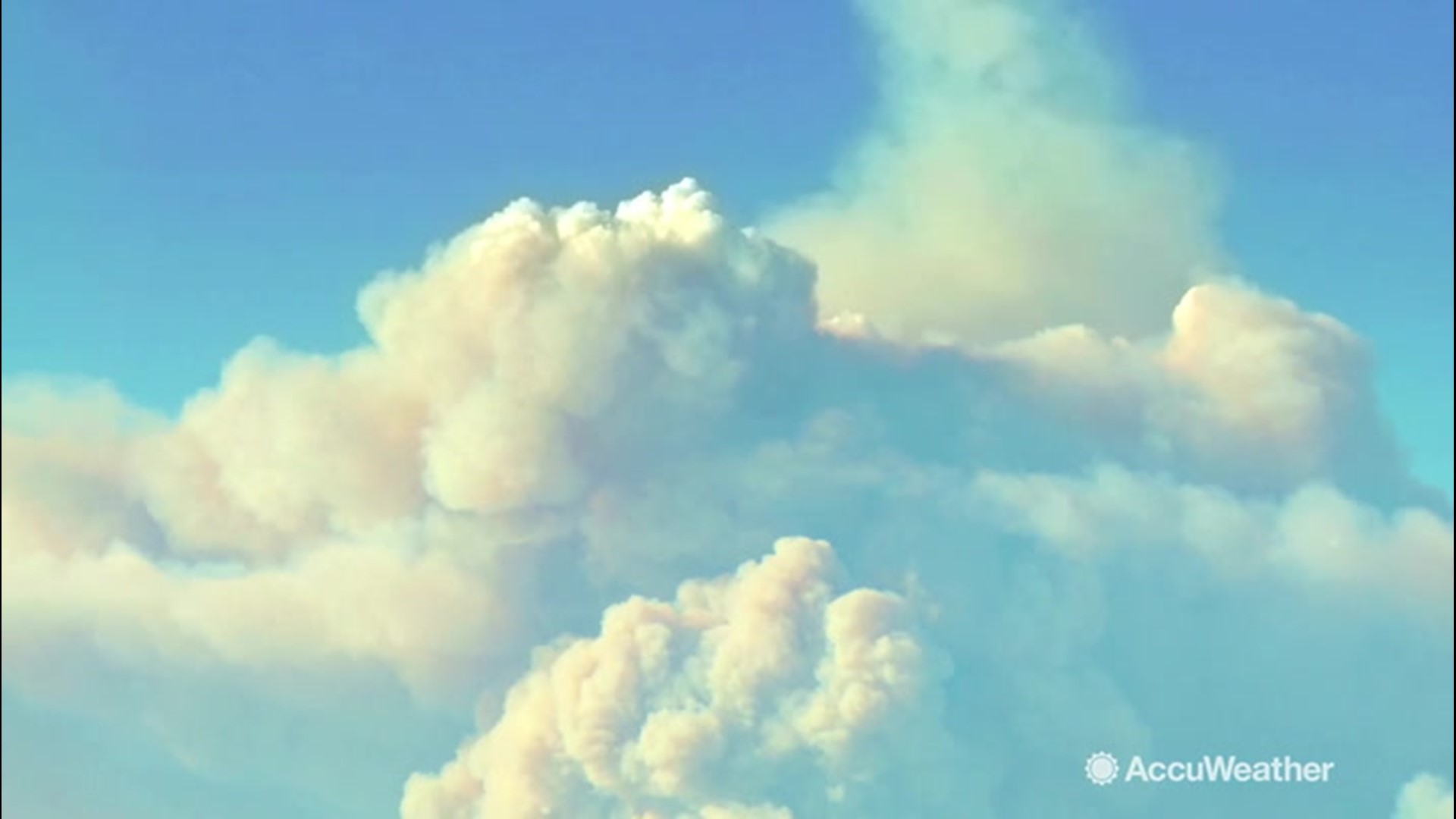
These clouds are similar to cumulonimbus clouds from which typical thunderstorms form. Pyrocumulonimbus clouds deliver thunderstorms born from intense smoke and fire. They form similar to other thunderstorms during the summer, even producing some rain.
"You need warm air in the lower levels of the atmosphere, with colder air aloft," Samuhel said. "Of course, a fire will have plenty of warm air in the lower levels of the atmosphere. This added heat can allow these huge, towering clouds to form when there would normally be clear skies."
 (Image/Bureau of Meteorology)
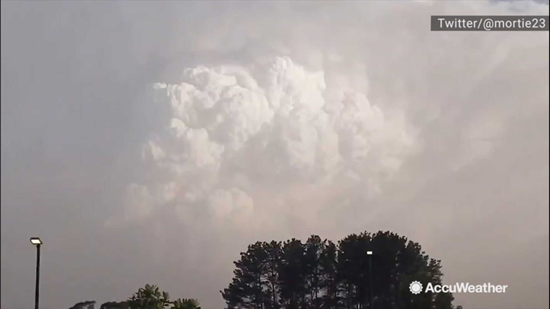
While these clouds aren't a new phenomenon, they can still threaten the Australian landscape if they form over dry land. The fire-breathing storm system can generate copious amounts of lightning when it becomes large enough, Samuhel said.
A lightning strike hitting the ground in dry weather can be enough to start another blaze, adding to the spreading flames. Most of the fires are located along the southeastern coast of New South Wales and Victoria, and in a few satellite images, the clouds can be seen taking flight out over the ocean toward New Zealand.
Home to the filming locations for J.R.R. Tolkien's work adapted for the big screen, New Zealand is no stranger to tales of fire-breathing dragons. But while the smog and smoke from this beast have turned the sky orange for the islands, New Zealand is too far away for the localized storms to reach.
These pyrocumulonimbus clouds aren't the only weather event the bushfires can generate. When a fire is extremely active, burning very hot and in a large area at once, firenadoes can form.
"The fire generates strong winds -- they are basically inflow. Heat rises, so the winds that are sucked into the fire from all directions rise and twist, forming the firenadoes," Samhuel said.
Widespread smoke resulting in poor air quality across large areas and localized strong winds have also been concerns.
Changing winds from an incoming front caused the Ravine Fire to jump containment lines on Friday, and the bushfire rapidly spread sparking more evacuations.
Over the last few months, Southeastern Australia has been unusually hot and dry. Sydney, which usually receives 3.5 inches of rain in December, recorded only 0.04 of an inch over the last month of 2019. Samhuel notes that temperatures were 5.1 degrees above normal for the month. November had also been abnormally dry.
Similar to California's fire season, wind events preceded the blaze.
"The wind events are similar to Santa Ana events in Southern California," Samhuel said. "There are large mountains across Southeastern Australia. The Australia Alps are in Victoria; the Great Dividing range runs north to south just inland from the coast of New South Wales and Queensland. The wind downslopes and accelerates as it moves west to east over the mountains towards the coast. During the high wind events, the relative humidity becomes very low, again, similar to Santa Ana winds."
Temperatures were near 110 F during some of these wind events. That's hotter than it ever gets during Santa Ana events in Southern California, Samhuel pointed out.