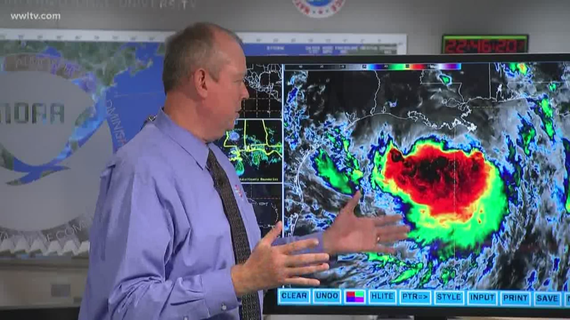
NEW ORLEANS — Tropical Storm Barry is closing in on the southeast Louisiana Coast, and while the storm has not picked up steam, weather officials warn that people should not let their guard down.
"We gotta watch out that we don't have some false sense of security," warned National Hurricane Center Director Ken Graham.
Graham said the storm has been significantly impacted by a mass of dry air situated ahead of the storm's path. While that is likely preventing Barry from doing any major strengthening, it's what is behind the storm that is important, Graham said.
"That really has saved us," Graham said, referring to the dry air, "but we have to talk about something really important - that also means that most of the rain is going to happen after the landfall."
"So even if we have some landfall tomorrow morning, look what's behind it - a large area of convection and rain. That's where we we gotta be careful," Graham added. "All of this moisture is indeed going to move into southeast Louisiana."
Graham said adding to the quirkiness of the storm is that there is no real center.
"It's not a typical situation that you see where you see an eye," he said. "It is just this large area of low pressure with just this little spins around it."
Models over the last few days have seen rainfall amounts, positioning, and an exact landfall bounce back and forth.
Graham said the National Hurricane Center has created their own forecast model based off both the Euro and American models for Tropical Storm Barry, which still show some places getting anywhere from 6 to 15 inches of rain. But Graham said those "little wiggles" in the storm's positioning matter.
"It can be the difference between several inches of rain and 15 inches of rain," he said.
Regardless of where the storm is and lands, Graham said, everyone still has to be prepared.
"You can't base your preparedness based on little wiggles, so to speak," he said. "It's about preparedness."
Graham added that 83 percent of fatalities in the last three years connected to storms happened during inland flooding from people in cars, "so don't be on the road," he advised.
Another area people should keep their guard up for - storm surge.
Graham said the slower the storm, the more time the winds from the storm have to push water inland, flooding low-lying areas. Current forecasts have storm surges of 3 to 5 feet at Lake Pontchartrain, with surges reaching between 3 to 6 feet along the coast of Louisiana.
But Graham said that surge could come at any time - and may not happen at the same time for everyone.
"Just because you don't get those storm surges right away - it could come later," he said.
So while there haven't been any significant changes to Barry, Graham summed up the most important thing for people to consider: "It's about the big area of moisture ... that's going to be the biggest impact," he concluded.

