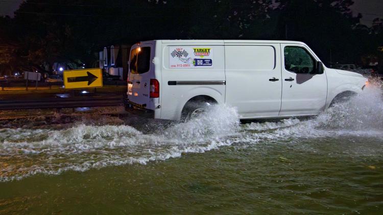
MORGAN CITY, La. — Francine weakened Thursday after striking Louisiana as a Category 2 hurricane that knocked out power to hundreds of thousands of homes and businesses, sent storm surge rushing into coastal communities and raised flood fears in New Orleans and beyond as drenching rains spread over the northern Gulf Coast.
The tropical storm was forecast to be downgraded to a tropical depression as it churned northward over Mississippi, the National Hurricane Center said. Some 3 to 6 inches (8 to 15 centimeters) of rain were possible in parts of Mississippi, Arkansas, Tennessee, Alabama, Georgia and the Florida Panhandle, with up to 10 inches (25 centimeters) possible in some spots in parts of Alabama and Florida, forecasters said, warning of the potential threat of scattered flash flooding as farflung as Jackson, Mississippi; Birmingham, Alabama; Memphis, Tennessee; and Atlanta.
Francine slammed the Louisiana coast Wednesday evening with 100 mph (155 kph) winds in coastal Terrebonne Parish, battering a fragile coastal region that hasn’t fully recovered from a series of devastating hurricanes in 2020 and 2021. It then moved at a fast clip toward New Orleans, pounding the city with torrential rains.
There were no immediate reports of deaths or injuries. TV news broadcasts from coastal communities showed waves from nearby lakes, rivers and Gulf waters thrashing sea walls. Water poured into city streets amid blinding downpours. Oak and cypress trees leaned in the high winds, and some utility poles swayed back and forth.
“It’s a little bit worse than what I expected to be honest with you,” said Alvin Cockerham, fire chief of Morgan City about 30 miles (50 kilometers) from where the storm's center made landfall. “I pulled all my trucks back to the station. It’s too dangerous to be out there in this.”
Power outages in Louisiana topped 390,000 early Thursday in Louisiana, according to the tracking site poweroutage.us, with an additional 46,000 outages reported in Mississippi.
Sheltering at her mother's home just outside Morgan City, Laura Leftwich said blasts of wind had swept away two large birdhouses outside. She had a generator powering an internet connection so she could video chat with friends, holding her computer to a window to show them water overflowing in the street.
If the storm had been any more intense, “I wouldn't have the guts to look outside,” said Leftwich, 40. “It’s a little scary.”
The sixth named storm of the Atlantic hurricane season, Francine drew fuel from exceedingly warm Gulf of Mexico waters, strengthening to a Category 2 storm before landfall. It weakened late Wednesday to a tropical storm.
In addition to torrential rains, there was a lingering threat of spin-off tornadoes from the storm Thursday in Florida and Alabama.
Louisiana Gov. Jeff Landry said the National Guard would fan out to parishes impacted by Francine. They have food, water, nearly 400 high-water vehicles, about 100 boats and 50 helicopters to respond to the storm, including for possible search-and-rescue operations.
Since the mid-19th century, some 57 hurricanes have tracked over or made landfall in Louisiana, according to The Weather Channel. Among them are some of the strongest, costliest and deadliest storms in U.S. history.
Morgan City, home to around 11,500 people, sits on the banks of the Atchafalaya River in south Louisiana and is surrounded by lakes and marsh. It’s described on the city’s website as “gateway to the Gulf of Mexico for the shrimping and oilfield industries.”
President Joe Biden granted an emergency declaration to help Louisiana secure expedited federal money and assistance. Landry and Mississippi Gov. Tate Reeves also declared states of emergency.
The Mississippi Emergency Management Agency said it distributed more than 100,000 sandbags to the southern part of the state and the Department of Education reported a number of school district closures for Wednesday and Thursday.


