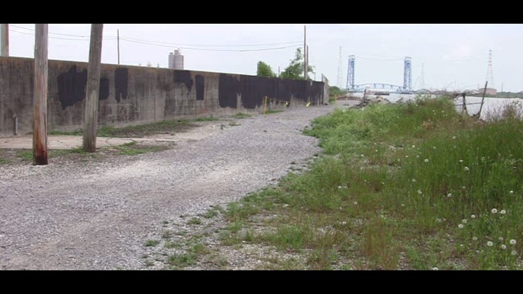
NEW ORLEANS – Despite being classified as “high risk,” the Army Corps of Engineers said the systems that defend southeast Louisiana from devastating floods are some of the best in the world.
The Corps announced the Levee Safety Action Classifications, also known as LSACS, Thursday morning. To get each rating, the Corps looks at factors like the probability of a flood event, the current state of the levee system and how many people would be impacted if those systems failed.
The New Orleans East Bank and West Bank system was noted as “the best risk reduction system the Greater New Orleans area has ever had.” The Mississippi River East Bank system, which manages levees from Baton Rouge to the Bonnet Carre Spillway, was noted as the “best flood managed system in the world.”
Both systems received a “high risk” rating.
The Flood Protection Authority said the rating is mostly based on New Orleans’ location on the Gulf Coast and the number of people and property protected by the system. The Army Corps said 913,700 people and $170 billion in property would be impacted if the system failed.
That assessment has been backed up by the Army Corps.
“Looking at the Hazards and Consequences criteria alone, we know that there is high risk in Southern Louisiana,” said Col. Michael Clancy, New Orleans District commander. “A river flood is expected annually and each year we ready ourselves for hurricane season; that coupled with the densely populated areas and the industrial infrastructure are the driving factors for many of the LSACs across the district.”
The FPA says it is confident in the system’s ability to protect against a 100-year event, but “we recognize that we can never fully eliminate risk.” The organization touted the system’s performance during Hurricanes Gustav, Issac and recently Nate last year.
The FPA says its system is composed of 192 miles of levees and floodwalls, 11 barrier structures and 253 floodgates.
The complete Risk Characterizations and LSACs for systems in the New Orleans District will be available on the National Levee Database starting Aug. 4.
Stay with Eyewitness News on WWL-TV and WWLTV.com for more on this developing story.


