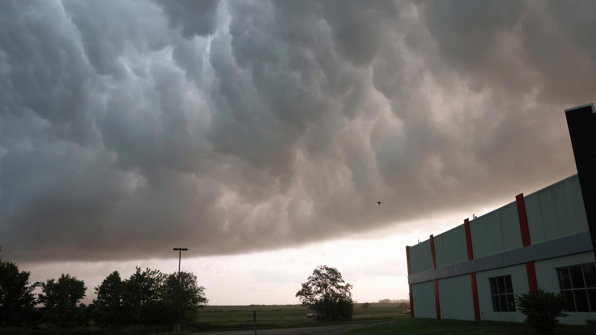
OKLAHOMA CITY — Powerful storms across Texas and Oklahoma obliterated homes and struck a highway travel center where drivers had rushed to take shelter, leaving thousands of people without power and a wide trail of damage Sunday. A sheriff said at least five people were dead in one rural community in Texas and many more were injured.
The destructive storms began Saturday night and included a tornado that overturned heavy recreational vehicles and shut down an interstate near Dallas. Officials said multiple people were transported to hospitals by ambulance and helicopter in the Texas county of Denton but did not immediately know the full extent of injuries.
In neighboring Cooke County, Sheriff Ray Sappington told The Associated Press that the five dead included three family members who were found in one home near Valley View, a rural community near the border with Oklahoma.
“We do have five confirmed (dead), but sadly, we think that that number is probably going to go up,” Sappington said. ”There’s nothing left of this house. It’s just a trail of debris left. The devastation is pretty severe.”
Forecasters had issued tornado and severe thunderstorm warnings for parts of both states, as some heat records were broken during the day in South Texas and residents received triple-digit temperature warnings over the long holiday weekend.
In Arkansas, damaged buildings, uprooted trees and downed power lines were reported across the northwest edge of the state. Tens of thousands of homes and businesses reported power outages. Benton County Judge Barry Moehring confirmed one death.
The destruction continued a grim month of deadly severe weather in the U.S.
Tornadoes in Iowa this week left at least five people dead and dozens injured. The deadly twisters have spawned during a historically bad season in the country for tornadoes, at a time when climate change is heightening the severity of storms around the world. April had the second-highest number of tornadoes on record in the country.
Late Saturday, a tornado crossed into northern Denton County in Texas and overturned tractor-trailer trucks, stopping traffic on Interstate 35, Denton County Community Relations Director Dawn Cobb said in a statement.
The tornado was confirmed near Valley View, moving east at 40 mph (64 kph), prompting the National Weather Service to issue a tornado warning for northern Denton County, Cobb said.
The storm damaged homes, overturned motorhomes and knocked down power lines and trees throughout the area including points in Sanger, Pilot Point, Ray Roberts Lake and Isle du Bois State Park, Cobb said.
People who suffered injuries in the storm were transported to area hospitals by ground and air ambulances, but the number of injuries in the county was not immediately known, Cobb said, while a shelter was opened in Sanger.
The fire department in the city of Denton, about 37 miles (59.5 kilometers) north of Forth Worth, Texas, posted on X that emergency personnel were responding to a marina “for multiple victims, some reported trapped.”
The Claremore, Oklahoma, police announced on social media that the city about 28 miles (45 kilometers) east of Tulsa was “shut down” as a result of storm damage including downed power lines and trees and inaccessible roads.
Earlier Saturday night, the National Weather Service's office in Norman, Oklahoma, said via the social platform X that the warning was for northern Noble and far southern Kay counties, an area located to the north of Oklahoma City. “If you are in the path of this storm take cover now!” it said.
A following post at 10:05 p.m. said storms had exited the area but warned of a storm moving across north Texas that could affect portions of south central Oklahoma.
At 10:24 p.m., the weather service office in Fort Worth posted a message warning residents in Era and Valley View they were in the direct path of a possible tornado and to immediately seek shelter. The Forth Worth office continued to post notices and shelter warnings tracking the movement of the storm through midnight and separately issued a severe thunderstorm warning with “golf ball sized hail” possible.
The weather service office in Tulsa, Oklahoma, warned on X of a dangerous storm moving across the northeast part of the state through 2 a.m. and issued severe thunderstorm notices for communities including Hugo, Boswell, Fort Towson, Grainola, Foraker and Herd.
Excessive heat, especially for May, was the danger in South Texas, where the heat index was forecast to approach 120 degrees Fahrenheit (49 degrees Celsius) in some spots during the weekend. Actual temperatures will be lower, although still in triple-digit territory, but the humidity will make it feel that much hotter.
The region is on the north end of a heat dome stretching from Mexico to South America, National Weather Service meteorologist Zack Taylor said.
Sunday looks like the hottest day with record highs for late May forecast for Austin, Brownsville, Dallas and San Antonio, Taylor said.
Brownsville and Harlingen near the Texas-Mexico border already set new records Saturday for the May 25 calendar date — 99 degrees Fahrenheit (37 degrees Celsius) and 100 degrees Fahrenheit (38 degrees Celsius), respectively — according to the weather service.
April and May have been a busy month for tornadoes, especially in the Midwest. Iowa was hit hard last week, when a deadly twister devastated Greenfield. And other storms brought flooding and wind damage elsewhere in the state.
The storm system causing the severe weather was expected to move east as the Memorial Day weekend continues, bringing rain that could delay the Indianapolis 500 auto race Sunday in Indiana and more severe storms in Illinois, Indiana, Missouri and Kentucky.
The risk of severe weather moves into North Carolina and Virginia on Monday, forecasters said.

